RADAR CLIMATOLOGY

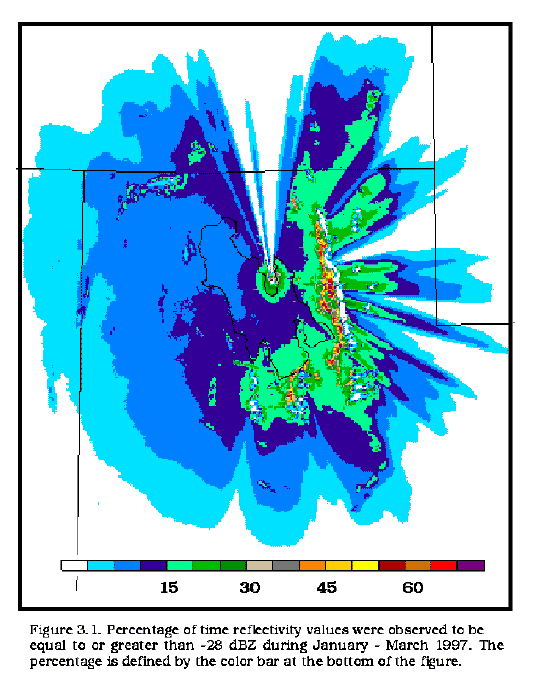
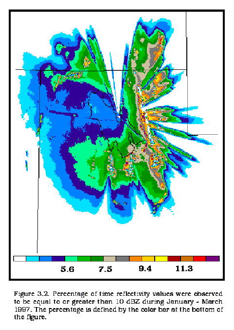
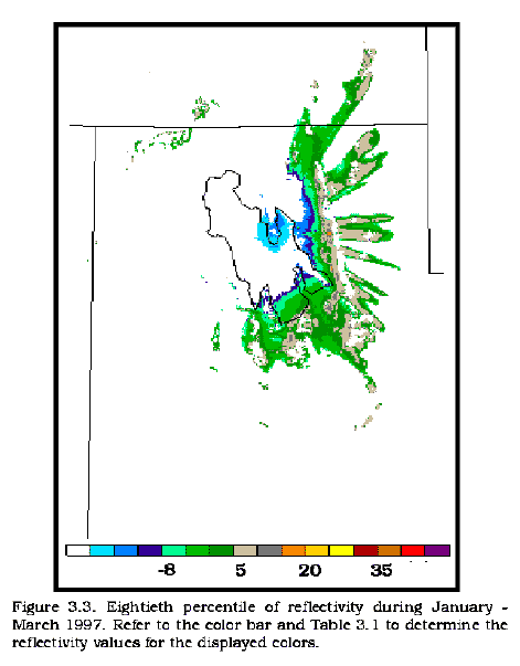
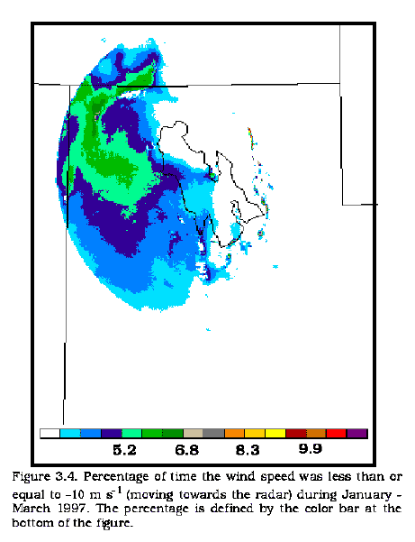
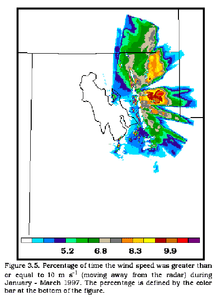
Figure 3.1 Figure 3.2 Figure 3.3 Figure 3.4 Figure 3.5
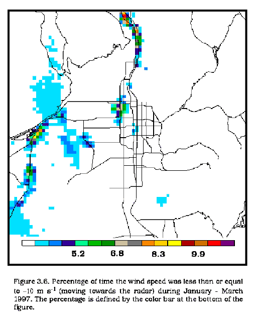
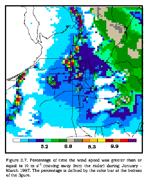
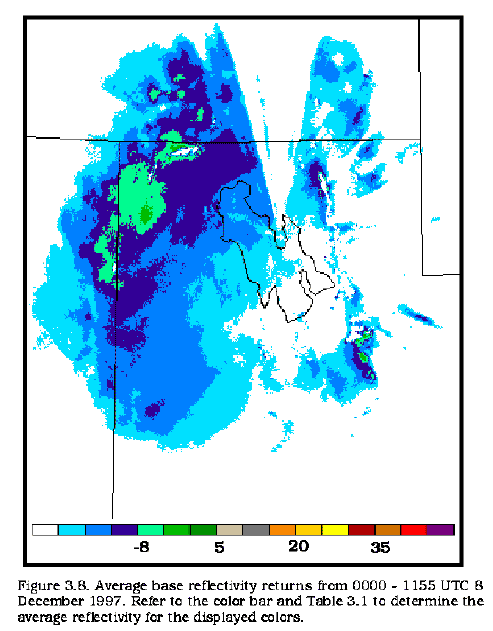
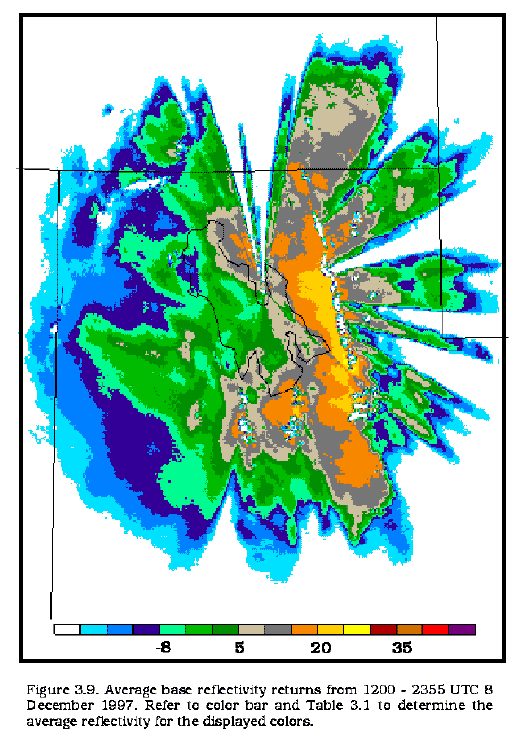
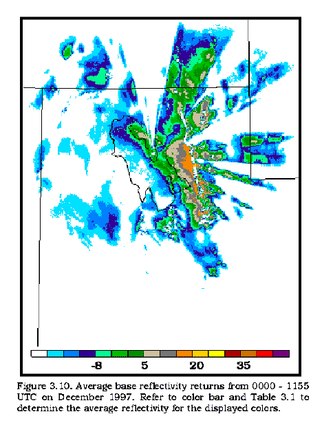
Figure 3.6 Figure 3.7 Figure 3.8 Figure 3.9 Figure 3.10
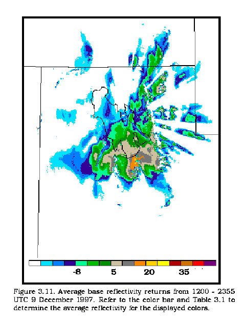
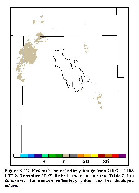
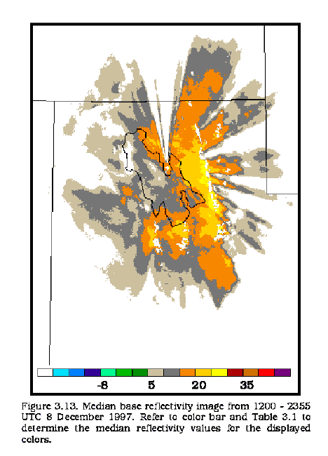
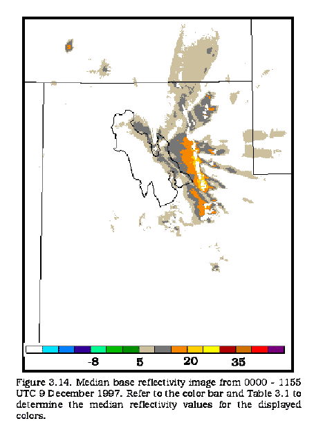
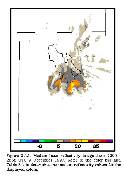
Figure 3.11 Figure 3.12 Figure 3.13 Figure 3.14 Figure 3.15
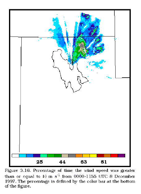
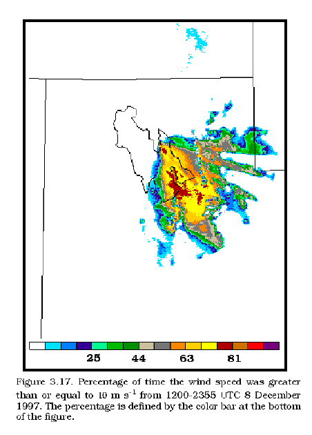
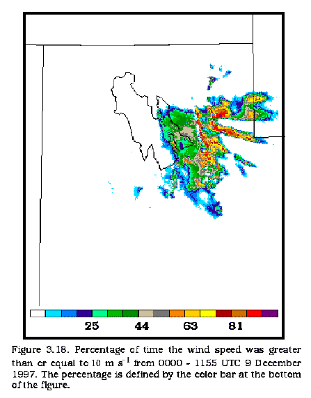
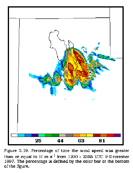
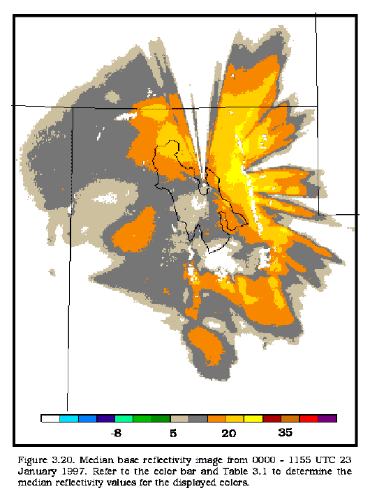
Figure 3.16 Figure 3.17 Figure 3.18 Figure 3.19 Figure 3.20
In addition to the figures available in the thesis, 12-h synoptic radar summaries from the winter season of 1997 (January through March) will be shown here. Two dominant radar regimes in which significant radar returns were observed have been classified into "post-frontal" and "pre-frontal" categories. Unique and interesting images will also be shown such as a case of chaff, strong canyon/downslope winds, etc.
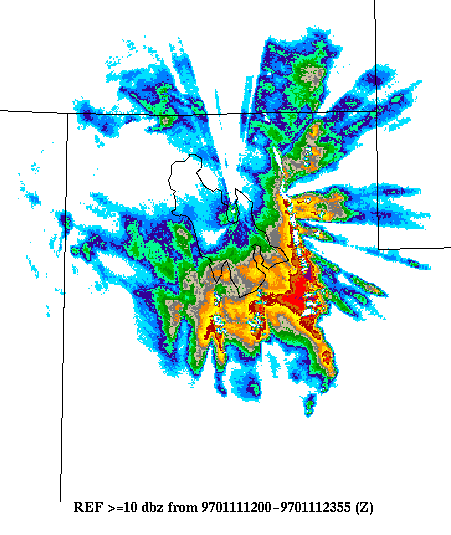
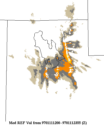
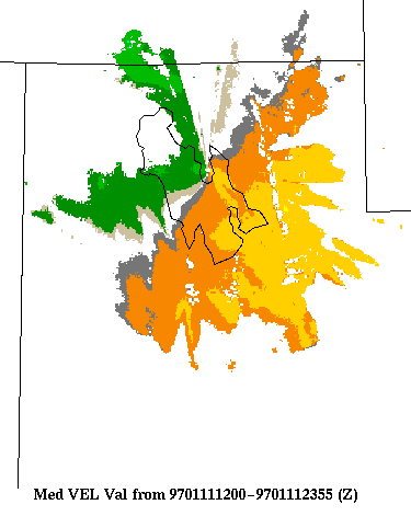
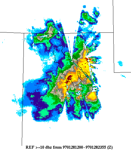
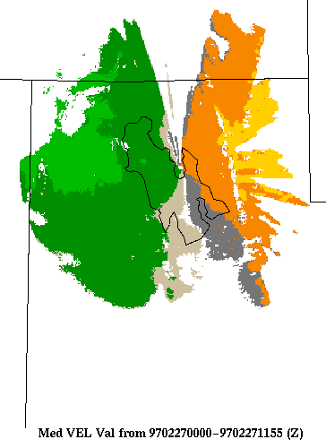
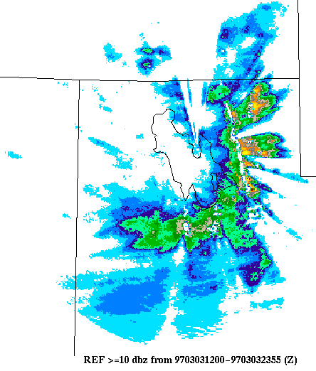
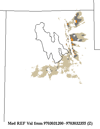
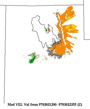
POST-FRONTAL CASES
January 11, 0000-1155 UTC
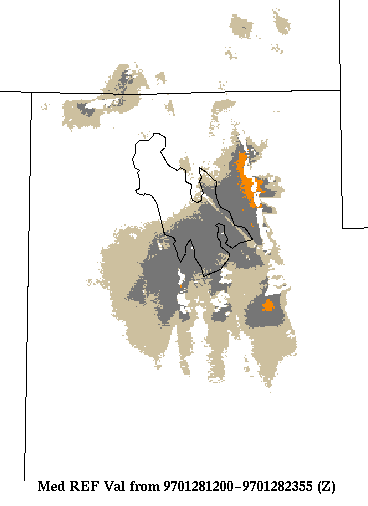
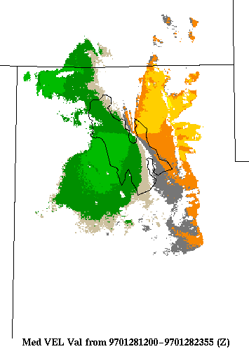
January 28, 1200-2355 UTC
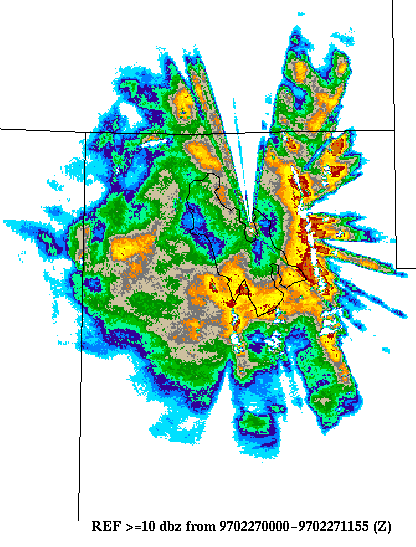
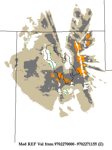
February 27, 0000-1155 UTC
March 3, 1200-2355 UTC
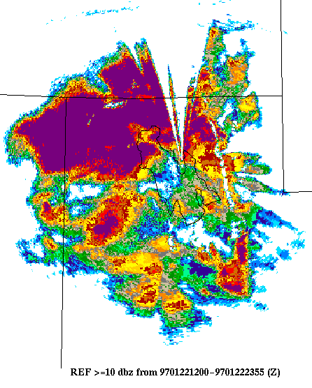
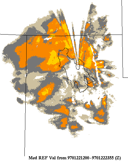
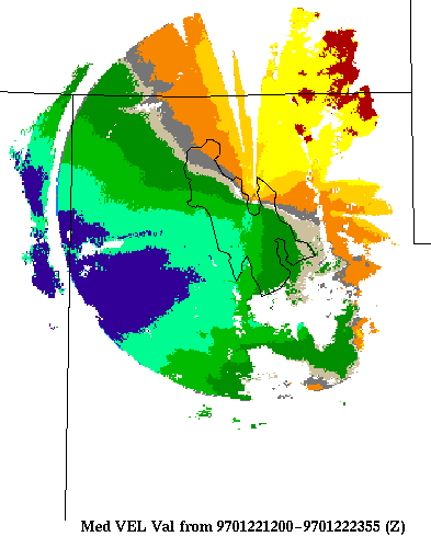
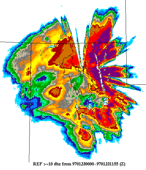
PRE-FRONTAL CASES
January 22, 1200-2355 UTC
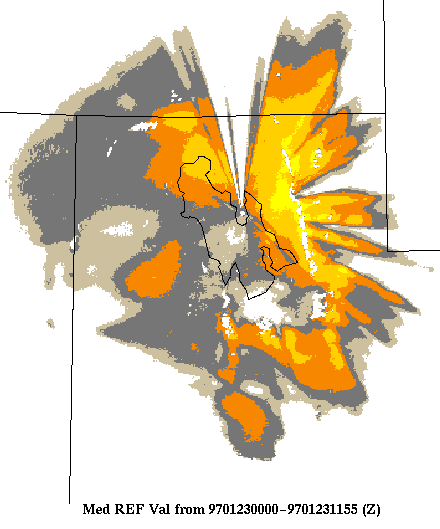
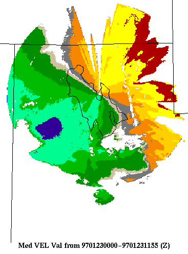
January 23, 0000-1155 UTC
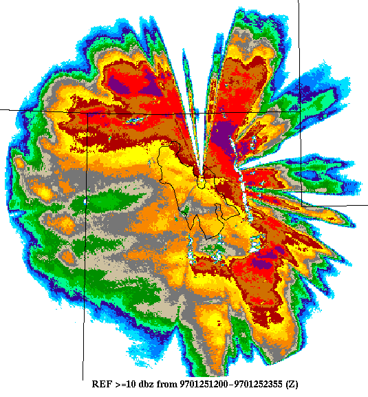
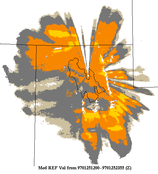
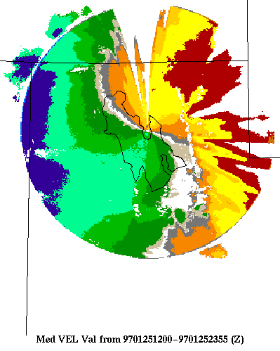
January 25, 1200-2355 UTC
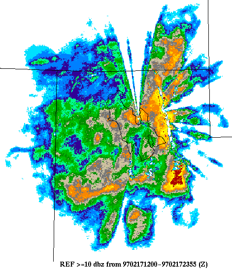
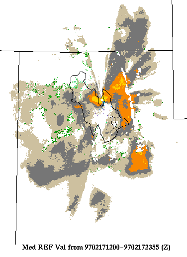
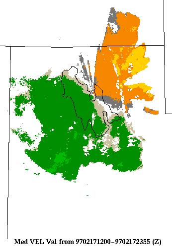
February 17, 1200-2355 UTC
CHAFF
February 2, 0000-1155 UTC
STRONG LOW-LEVEL EASTERLY FLOW
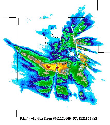
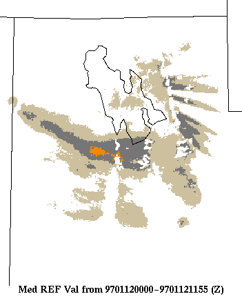
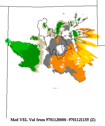
January 12, 0000-1155 UTC