Carrizo Gorge railroad trail clickable map


For a description of the trail, and its background, be sure to check out this page
NOTE: As of December 2004, the railroad line is in operation again so this ride is no more doable.
Skip map to see list of images
Or:
Follow the trail with the mouse.
Hold mouse over the map where the cursor changes to hand to see the description.
Click to view the image.
Follow the tracks from the bottom (south) to the top (north). The map was taken from Terraserver and the trail is marked from GPS trackpoints, that's why it's so wiggly at places.
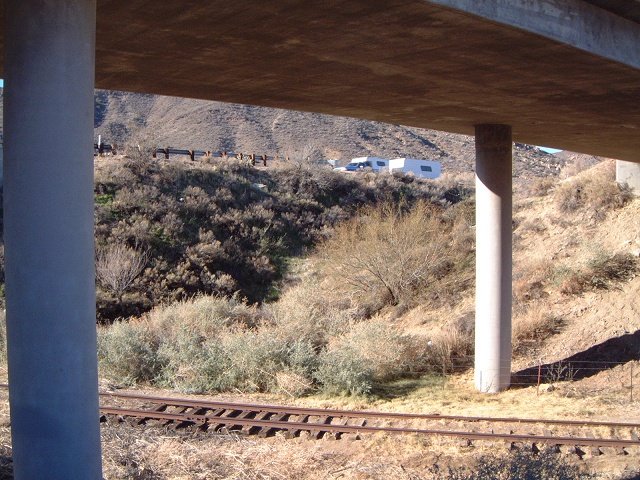
 1. The railroad tracks under the Interstate 8.
 2. Dirt road north towards DeAnza Springs Resort
 3. View south from near the resort, where trail leads from the railroad tracks to the dirt road.
 4. View north from near the resort.
 5. View south from the first small bridge that crosses Carrizo Wash
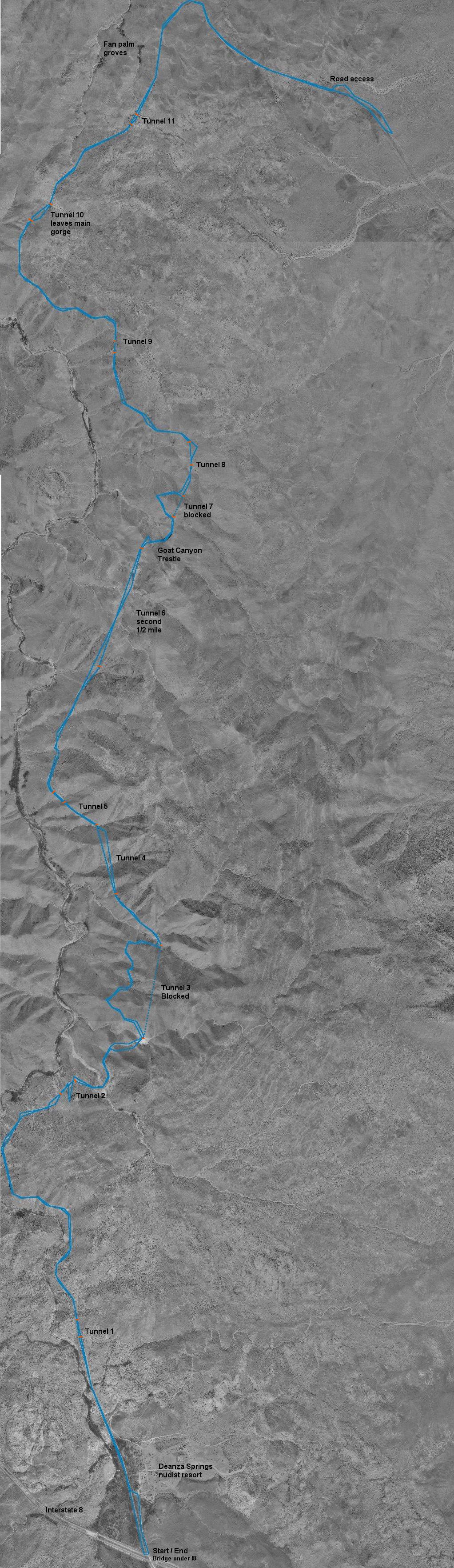
 6. A warning sign as the tracks enter the gorge.
 7. The first tunnel, not too long.
 8. View south a bit after the first tunnel.
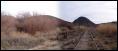
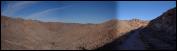
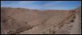
 9. View south at the first turn in the gorge, note the bridge in the distance.
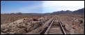
 10. A view south from the first larger bridge.
 11. A cactus beside the tracks in the turn.
 12. Entrance to Tunnel 2.
 13. The inside of Tunnel 2 is reinforced.
 14. A view north from the end of Tunnel 2.
 15. Entrance to Tunnel 3, which is blocked.
 16. Thick brushes of Chola cacti line the bypass trail's southern flanks.
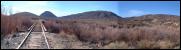
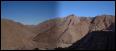
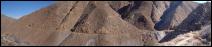
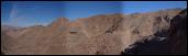
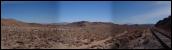
 17. Panorama south from the bypass trail.
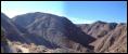
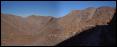
 18. Panorama west from the bypass trail.
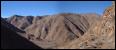
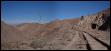
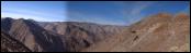
 19. Panorama north from the bypass trail, note tunnel in the center and part of the tunnel bypass in the right.
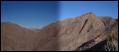
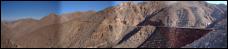
 20. Panorama NE at the line from mouth of Tunnel 3 (right) to Tunnel 4 (left).
 21. Blocked north entry of Tunnel 3.
 22. Panorama N with entry to Tunnel 4.
 23. Tunnel 4 are in fact two short tunnels right after each other.
 24. Another cool zoomed view at the tunnels.
 25. North entry of the first tunnel in this pair.
 26. And the south entry to the second one.
 27. Tunnel 5 (or 6?) behind the turn.
 28. North entry of Tunnel 5.
 29. South entry to Tunnel 6 - the one 1/2 mile long.
 30. In the tunnel.
 31. A collapsed tunnel bypass right before Goat Canyon.
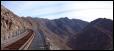
 32. Panorama N with Goat Canyon trestle and bypass of Tunnel 7.
 33. The trestle a bit closer up.
 34. On the bridge, view south.
 35. On the bridge, view north.
 36. On the bridge, view down.
 37. A cistern on the north side of the bridge.
 38. View N from the bypass of Tunnel 7.
 39. An interesting setup a bit further up the tracks.
 40. Goat Canyon trestle from the north.
 41. Another panorama north, with a couple of ruined boxcars.
 42. Panorama south from one of the side bridges, there are several in this section.
 43. A view north from one of the bridges.
 44. View south.
 45. The tracks in the side canyon.
 46. View north at the side canyon with a first palm grove.
 47. Another view north with more palm groves and Tunnel 11 in the background.
 48. View west from the turn.
 49. View east from the turn.
 50. Panorama east with the access road.
 51. Another view east at my turnaround point.
 52. Ocotillo bush signals low Sonoran desert.
 2. Dirt road north towards DeAnza Springs Resort
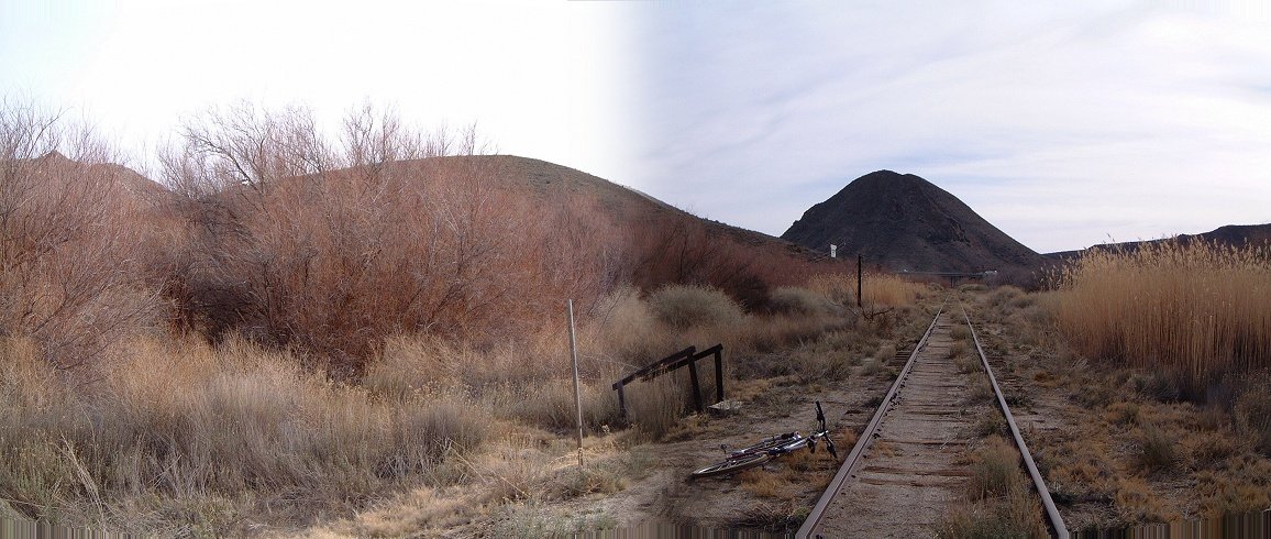 3. View south from near the resort, where trail leads from the railroad tracks to the dirt road.
 4. View north from near the resort.
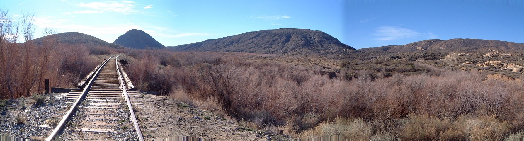 5. View south from the first small bridge that crosses Carrizo Wash
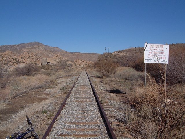 6. A warning sign as the tracks enter the gorge.
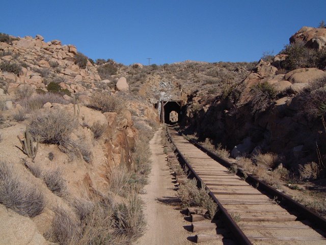 7. The first tunnel, not too long.
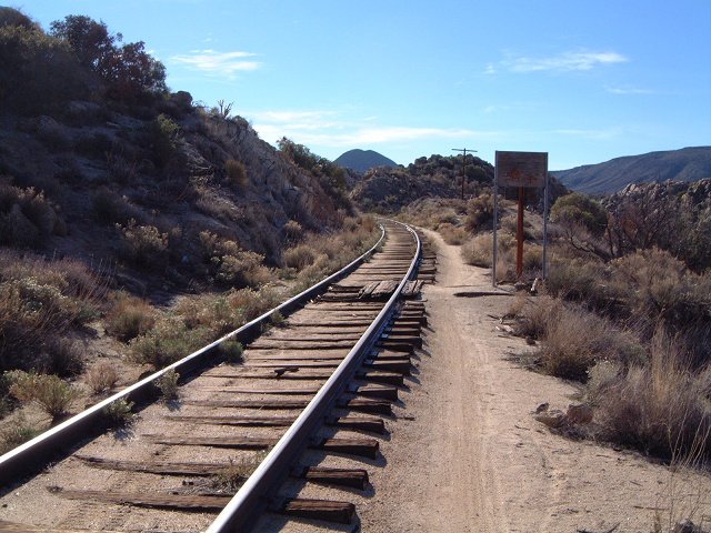 8. View south a bit after the first tunnel.
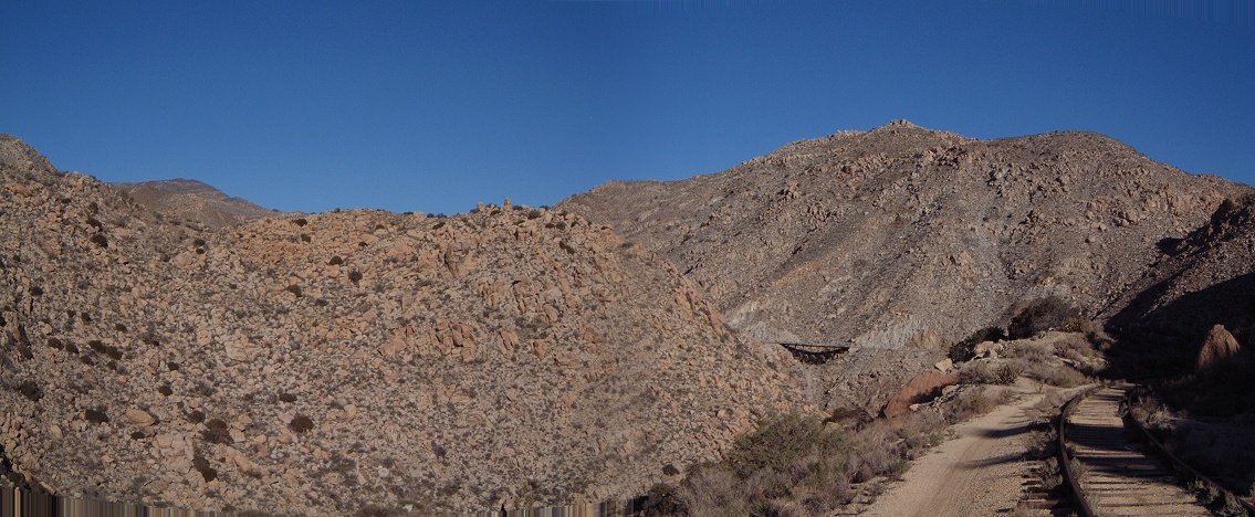 9. View south at the first turn in the gorge, note the bridge in the distance.
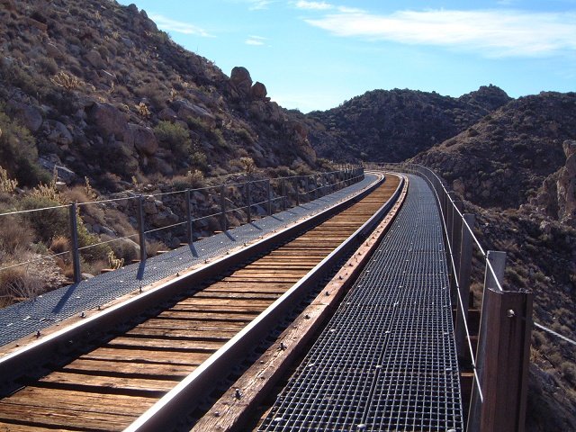 10. A view south from the first larger bridge.
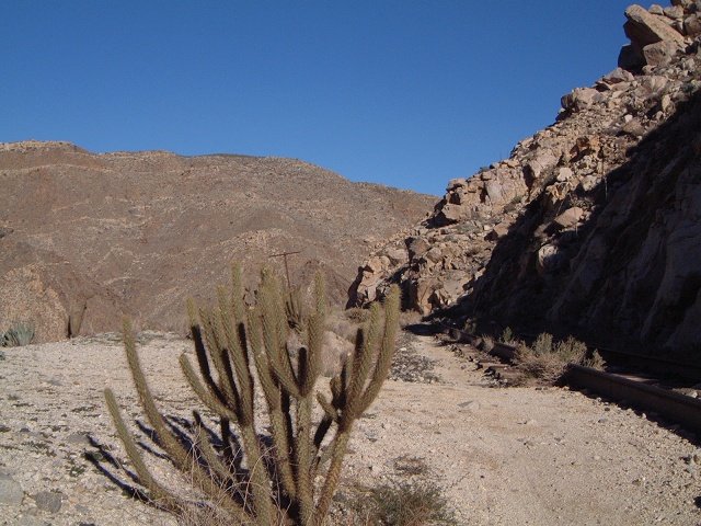 11. A cactus beside the tracks in the turn.
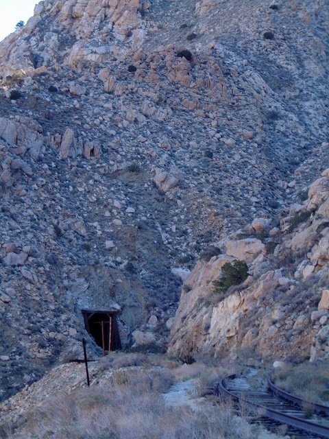 12. Entrance to Tunnel 2.
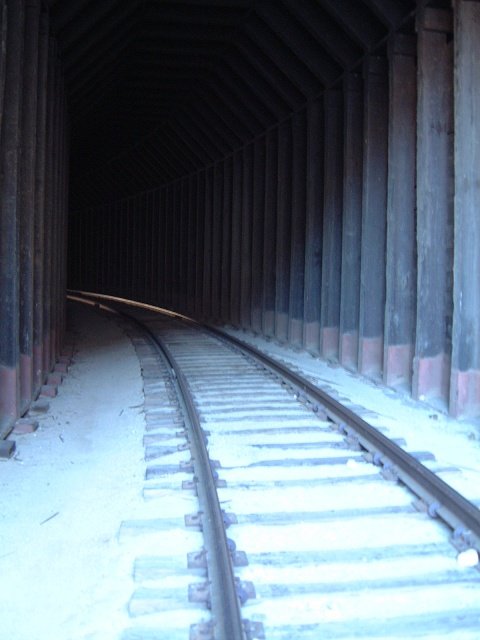 13. The inside of Tunnel 2 is reinforced.
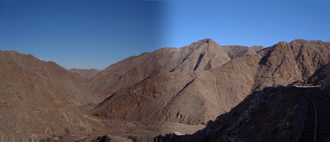 14. A view north from the end of Tunnel 2.
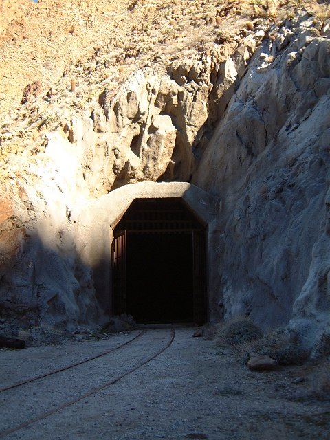 15. Entrance to Tunnel 3, which is blocked.
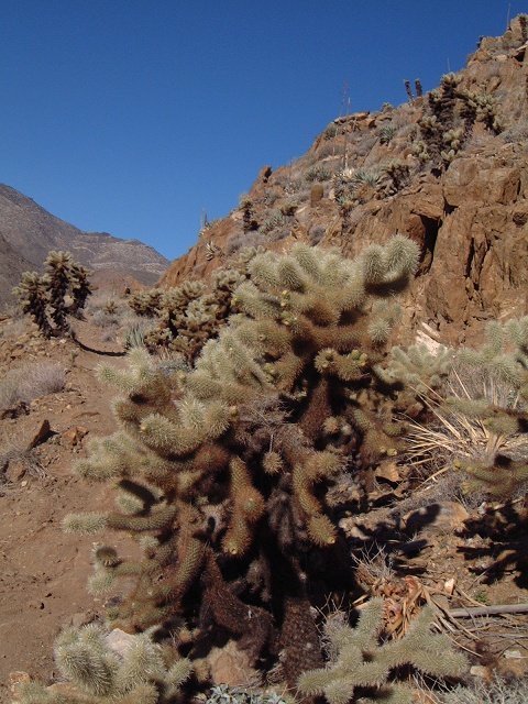 16. Thick brushes of Chola cacti line the bypass trail's southern flanks.
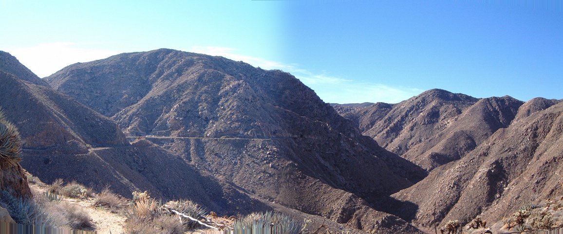 17. Panorama south from the bypass trail.
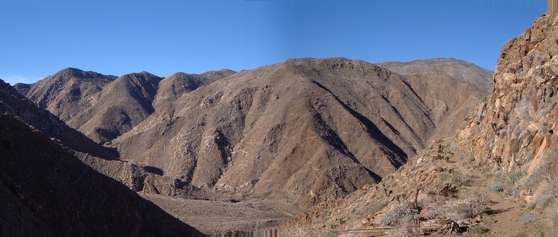 18. Panorama west from the bypass trail.
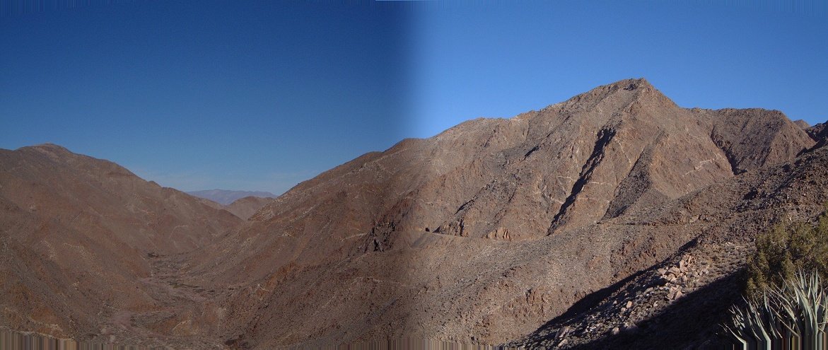 19. Panorama north from the bypass trail, note tunnel in the center and part of the tunnel bypass in the right.
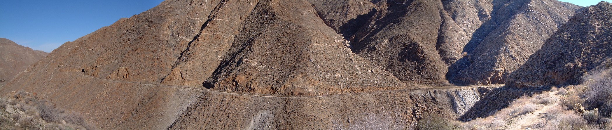 20. Panorama NE at the line from mouth of Tunnel 3 (right) to Tunnel 4 (left).
 21. Blocked north entry of Tunnel 3.
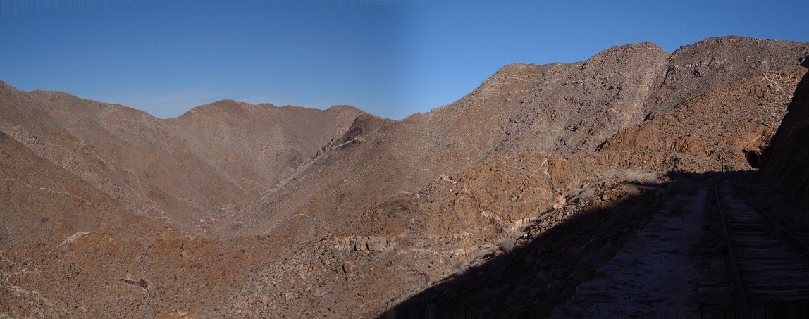 22. Panorama N with entry to Tunnel 4.
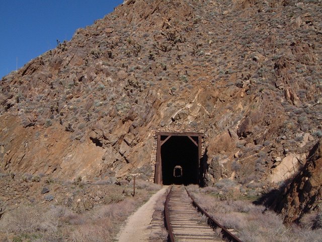 23. Tunnel 4 are in fact two short tunnels right after each other.
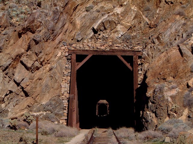 24. Another cool zoomed view at the tunnels.
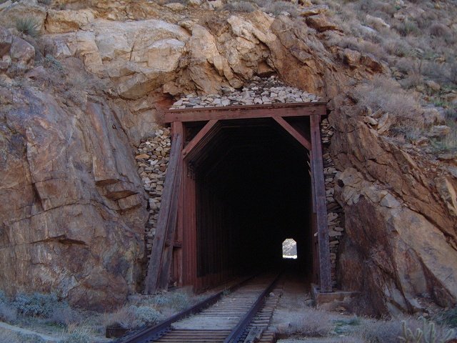 25. North entry of the first tunnel in this pair.
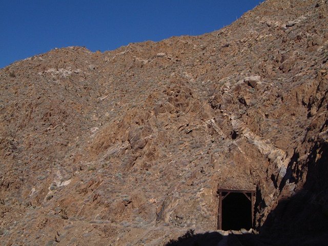 26. And the south entry to the second one.
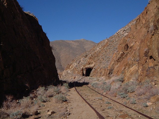 27. Tunnel 5 (or 6?) behind the turn.
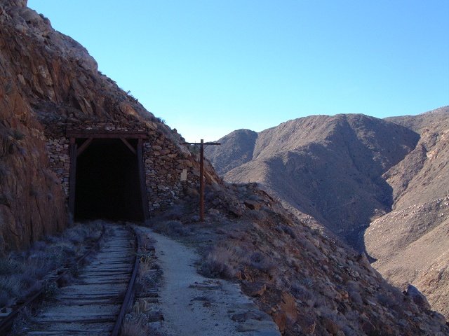 28. North entry of Tunnel 5.
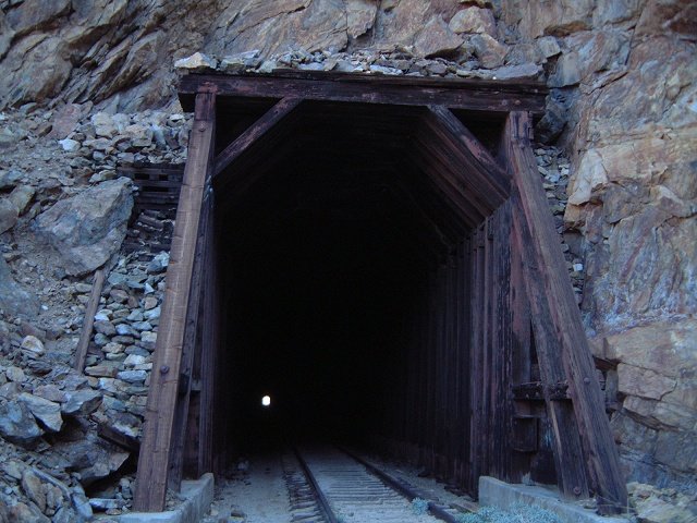 29. South entry to Tunnel 6 - the one 1/2 mile long.
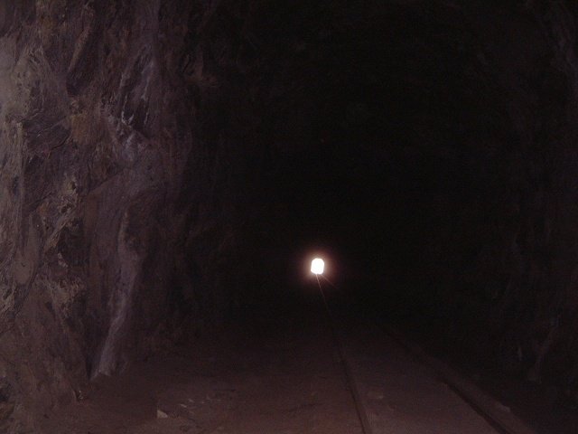 30. In the tunnel.
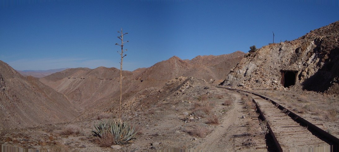 31. A collapsed tunnel bypass right before Goat Canyon.
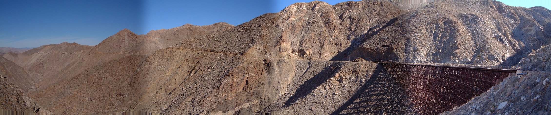 32. Panorama N with Goat Canyon trestle and bypass of Tunnel 7.
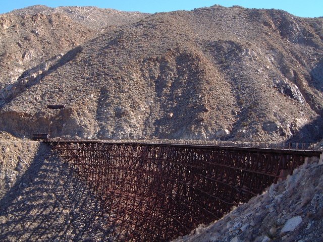 33. The trestle a bit closer up.
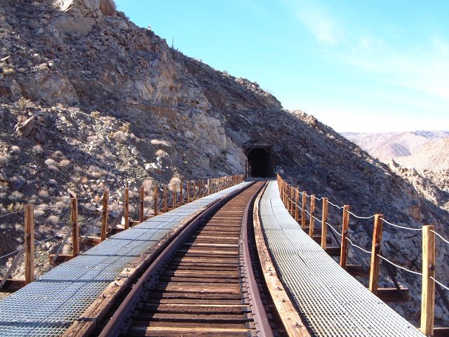 34. On the bridge, view south.
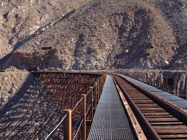 35. On the bridge, view north.
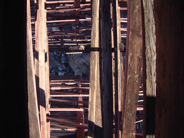 36. On the bridge, view down.
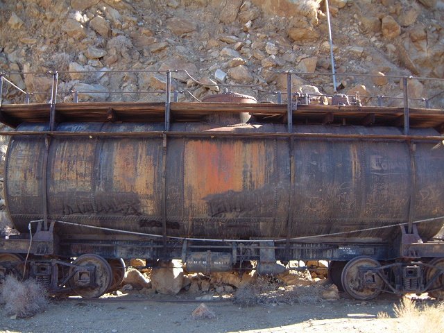 37. A cistern on the north side of the bridge.
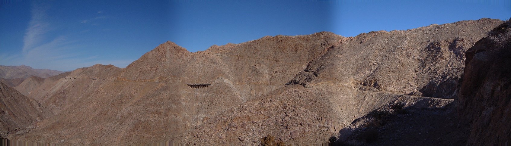 38. View N from the bypass of Tunnel 7.
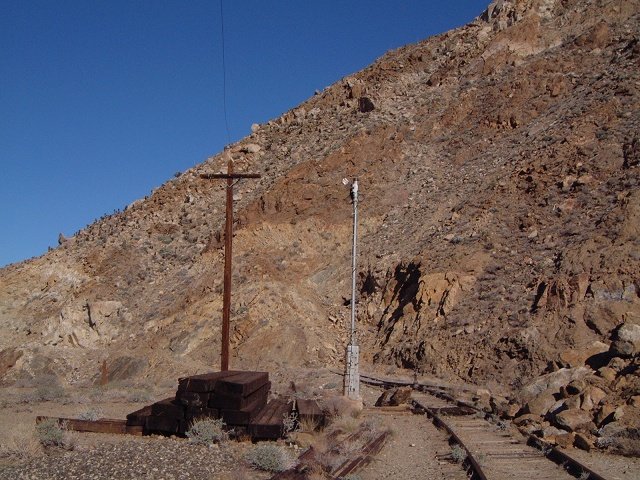 39. An interesting setup a bit further up the tracks.
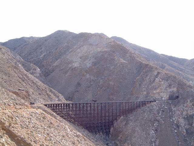 40. Goat Canyon trestle from the north.
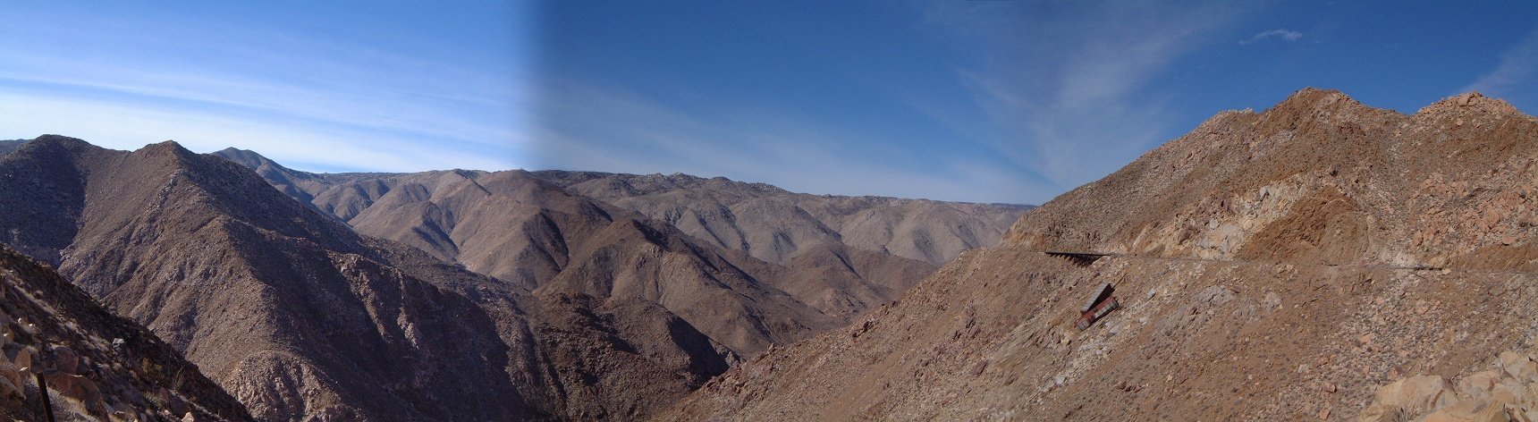 41. Another panorama north, with a couple of ruined boxcars.
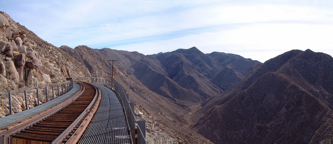 42. Panorama south from one of the side bridges, there are several in this section.
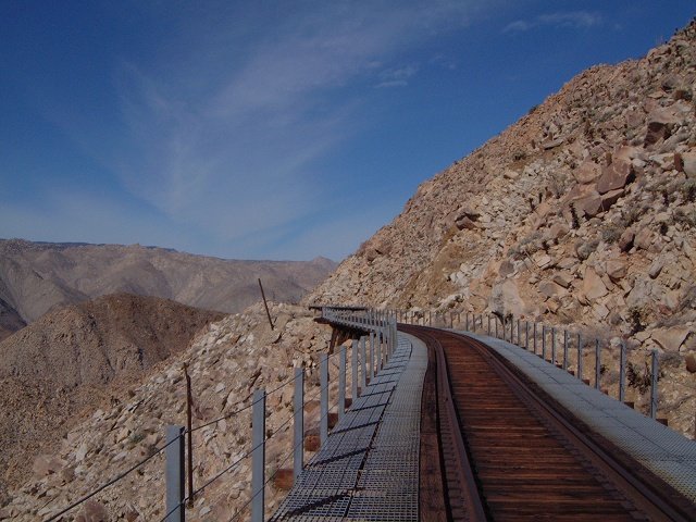 43. A view north from one of the bridges.
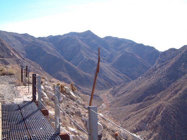 44. View south.
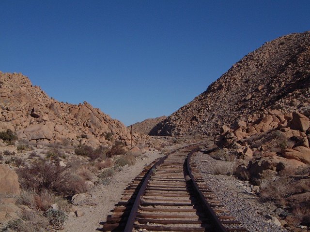 45. The tracks in the side canyon.
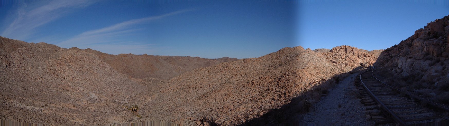 46. View north at the side canyon with a first palm grove.
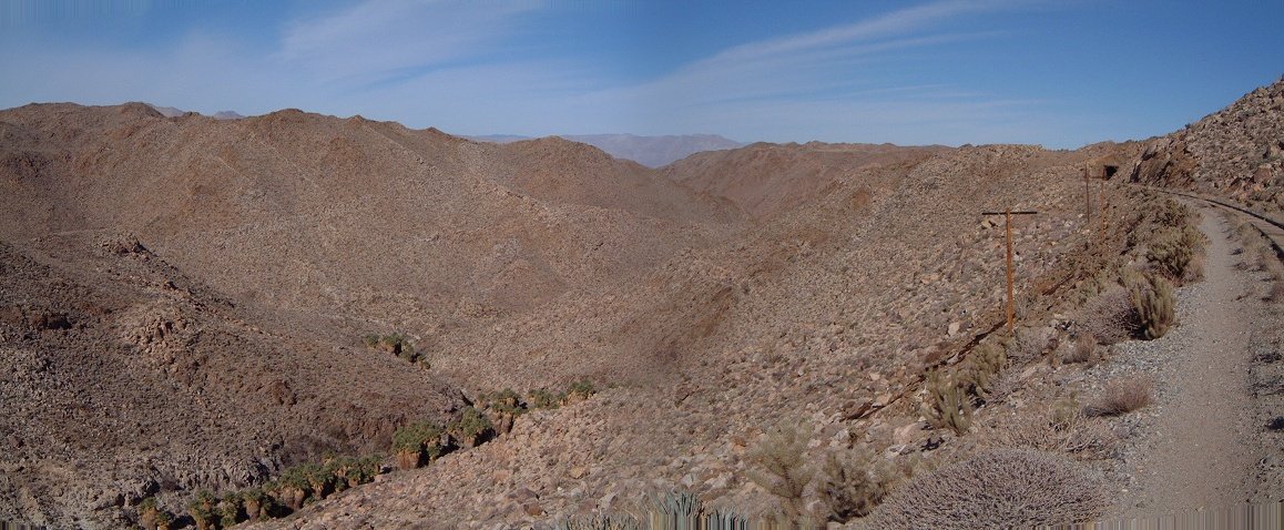 47. Another view north with more palm groves and Tunnel 11 in the background.
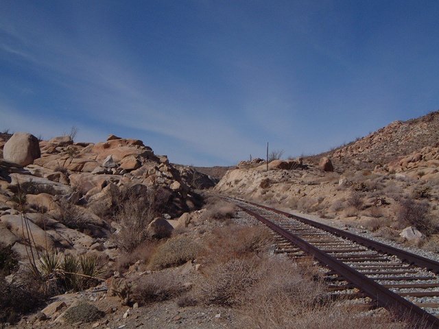 48. View west from the turn.
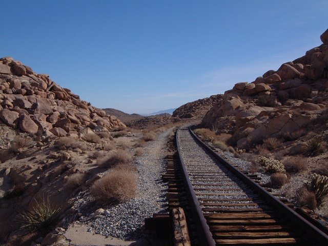 49. View east from the turn.
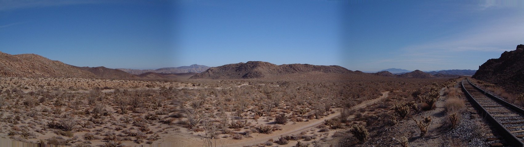 50. Panorama east with the access road.
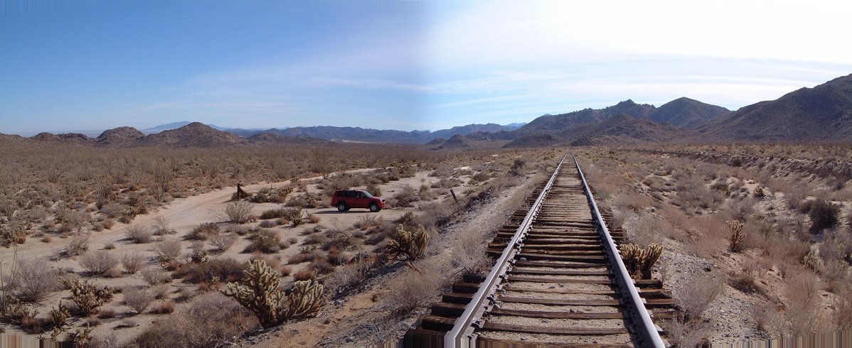 51. Another view east at my turnaround point.
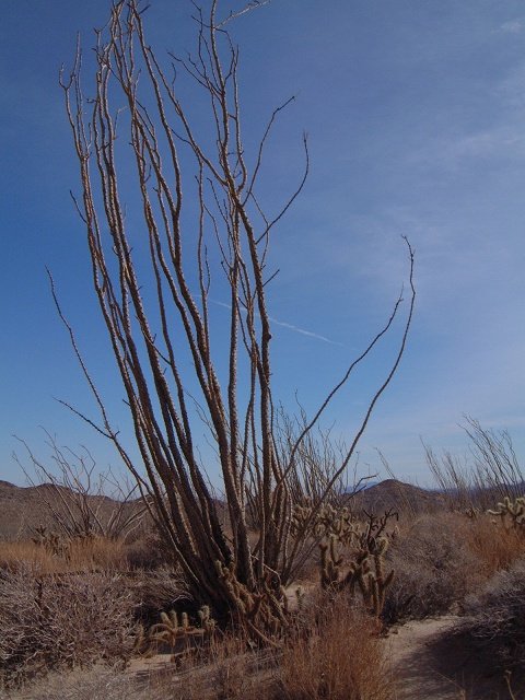 52. Ocotillo bush signals low Sonoran desert.