Skip map to see list of images
Or:
Follow the trail with the mouse.
Hold mouse over the map where the cursor changes to hand to see the description.
Click to view the image.
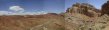
 1. View towards Ramp Canyon from the low clearance car parking spot.
 2. Panorama east towards Ramp Canyon from the 4WD road about 1/2 mile before the canyon.
 3. At the start of Ramp Canyon narrows.
 4 The first section is mostly boulders like this.
 5. View upcanyon few minutes later.
 6. View downcanyon from the same area.
 7. Steep rock slab offers the best way of descent a little later.
 8. View down from the hardest spot in the canyon, a supposedly 5.1 dryfall with a chokestone on the top.
 9. View at the same dryfall from the bottom. It may be easier to go up than down this one.
 10. View upcanyon a little below the dryfall.
 11. View downcanyon from the same spot.
 12. Another obstacle, about mid-thigh deep pothole.
 13. Another pothole right below the previous one, this one was about knee deep.
 14. This third pothole can be passed with dry feet on the slab on the right.
 15. Two relatively high (one about 2m, another about 1m) dry potholes in the lower Ramp, the first one may be hard to climb up if one goes upcanyon.
 16. View downcanyon from the area of the last pothole.
 17. A large alcove in one of the last narrow turns in lower Ramp.
 18. Ramp Canyon floor on the exit from San Rafael Reef, note the inclined rock layer on the left.
 19. Panorama south from where Ramp exits the reef. To get to Cistern, one must walk up the wash on the left of the picture.
 20. View north-east into the side wash that is the best pick to walk towards Cistern Cyn.
 21. View south-east (towards Ramp) from one of the small saddles on the cross-country walk from Ramp to Cistern Cyn.
 23. View north-east (towards Cistern) from the same spot.
 24. View east towards lower Cistern Cyn. from the ridge above it where I turned up after crossing about five minor ridges.
 25. View towards the reef and Cistern Cyn. cutting through it from the same ridge.
 26. View downstream Cistern Cyn. from the place where I got down into the canyon.
 27. View upcanyon where the walls narrow.
 28. The narrowest place is at the lowest part of the canyon.
 29. Large chokestone in lower Cistern, which can be easily walked under.
 30. Rock slabs a little higher up.
 31. A wider area in the central part of the canyon.
 32. Narrower part near the upper end of the canyon.
 33. Wide opening as the canyon enters the San Rafael Reef.
 34. Desert flower run over by an ATV that was cutting off the trail at the upper Cistern Canyon.
 35. Cistern Canyon entrance with an ATV track, that runs on an old mining road and goes along the reef to Ramp Canyon.
 36. Panorama from the ATV track north towards upper Cistern Cyn. and tributaries.
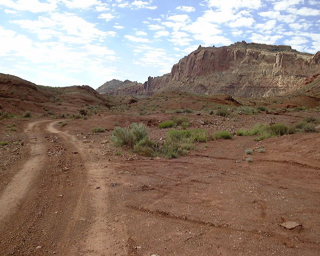
 2. Panorama east towards Ramp Canyon from the 4WD road about 1/2 mile before the canyon.
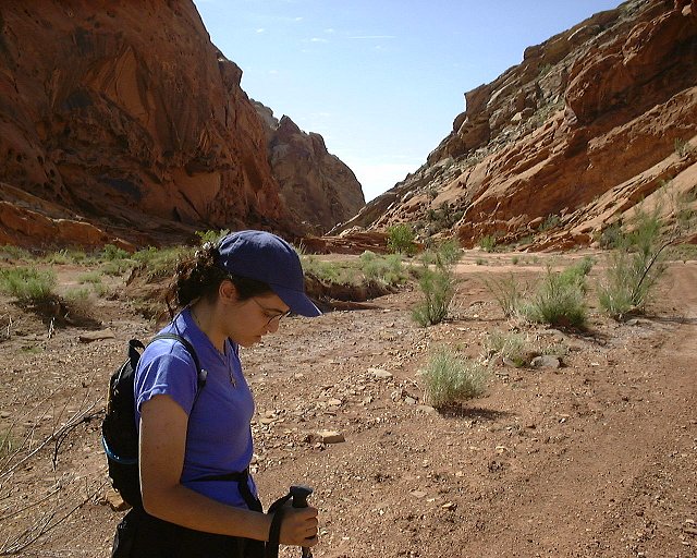 3. At the start of Ramp Canyon narrows.
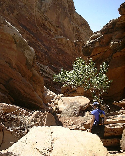 4 The first section is mostly boulders like this.
 5. View upcanyon few minutes later.
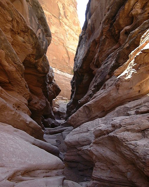 6. View downcanyon from the same area.
 7. Steep rock slab offers the best way of descent a little later.
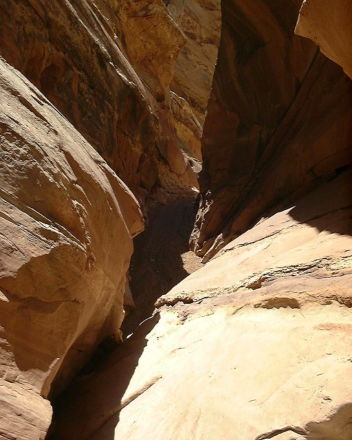 8. View down from the hardest spot in the canyon, a supposedly 5.1 dryfall with a chokestone on the top.
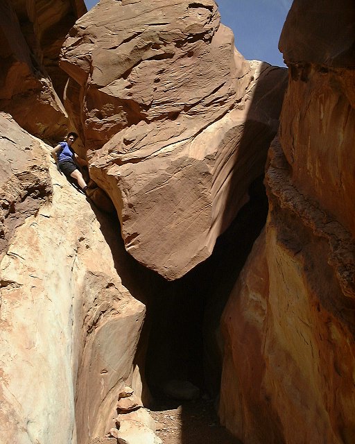 9. View at the same dryfall from the bottom. It may be easier to go up than down this one.
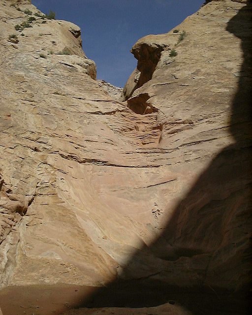 10. View upcanyon a little below the dryfall.
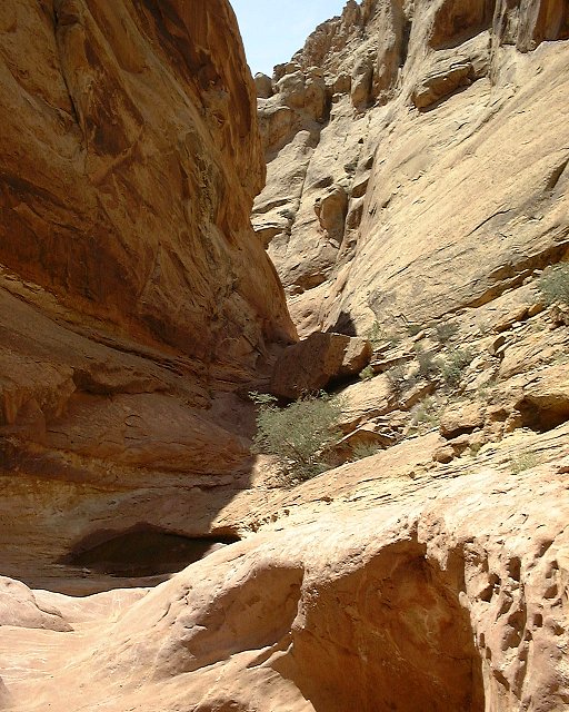 11. View downcanyon from the same spot.
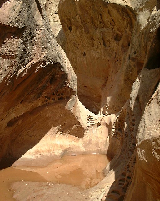 12. Another obstacle, about mid-thigh deep pothole.
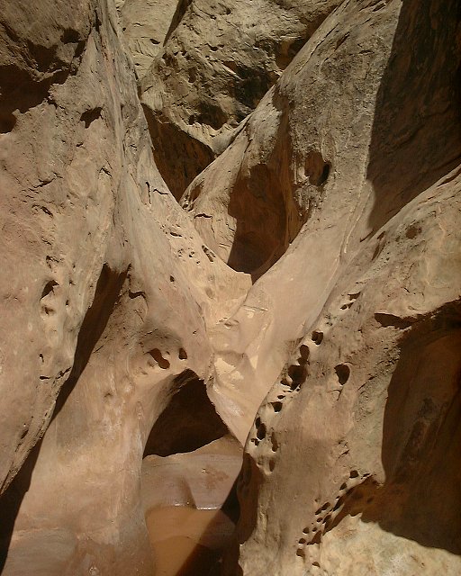 13. Another pothole right below the previous one, this one was about knee deep.
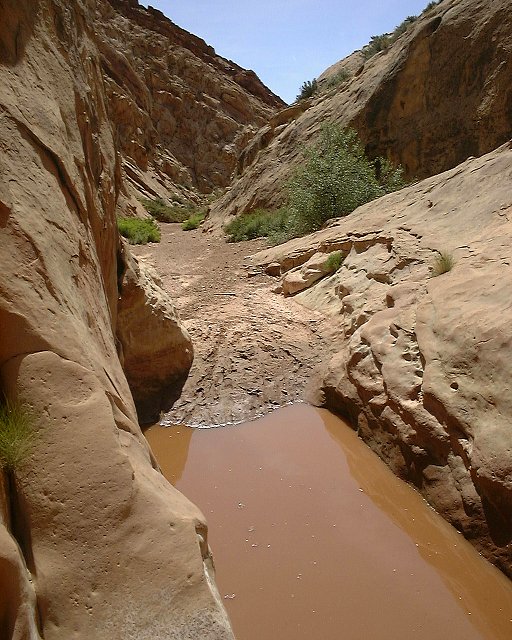 14. This third pothole can be passed with dry feet on the slab on the right.
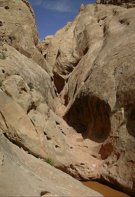 15. Two relatively high (one about 2m, another about 1m) dry potholes in the lower Ramp, the first one may be hard to climb up if one goes upcanyon.
 16. View downcanyon from the area of the last pothole.
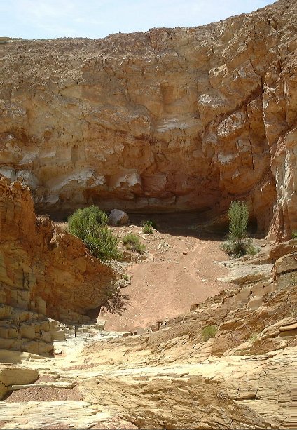 17. A large alcove in one of the last narrow turns in lower Ramp.
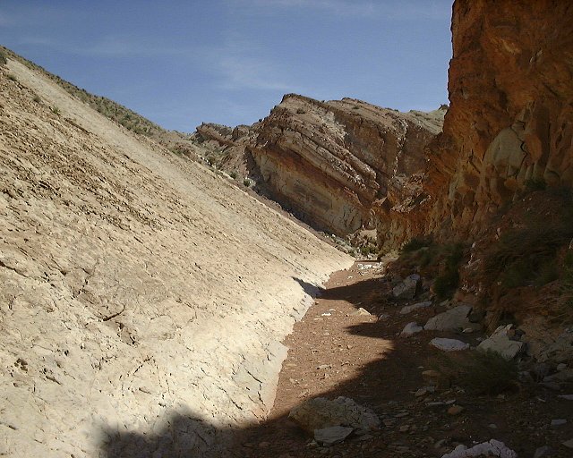 18. Ramp Canyon floor on the exit from San Rafael Reef, note the inclined rock layer on the left.
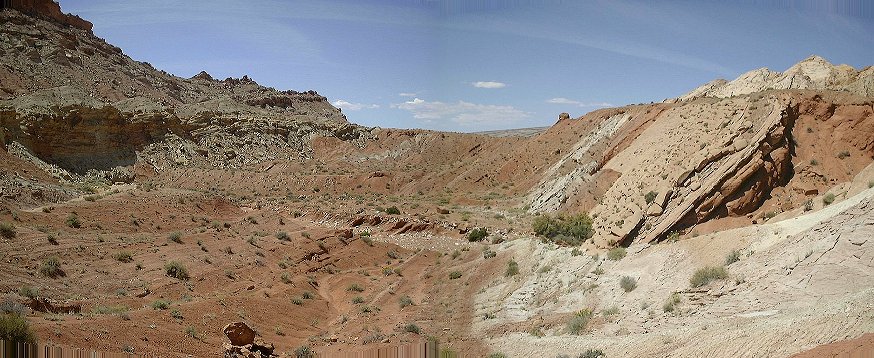 19. Panorama south from where Ramp exits the reef. To get to Cistern, one must walk up the wash on the left of the picture.
 20. View north-east into the side wash that is the best pick to walk towards Cistern Cyn.
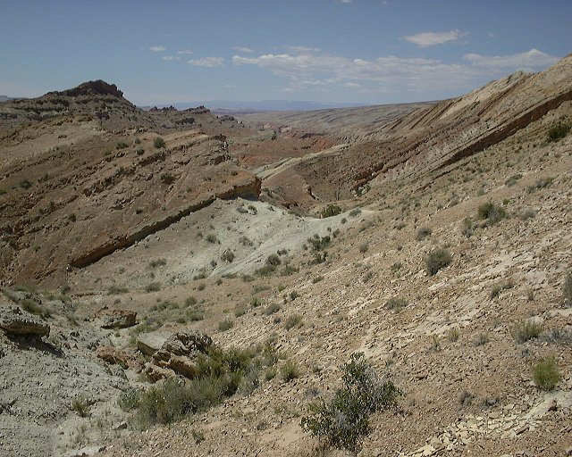 21. View south-east (towards Ramp) from one of the small saddles on the cross-country walk from Ramp to Cistern Cyn.
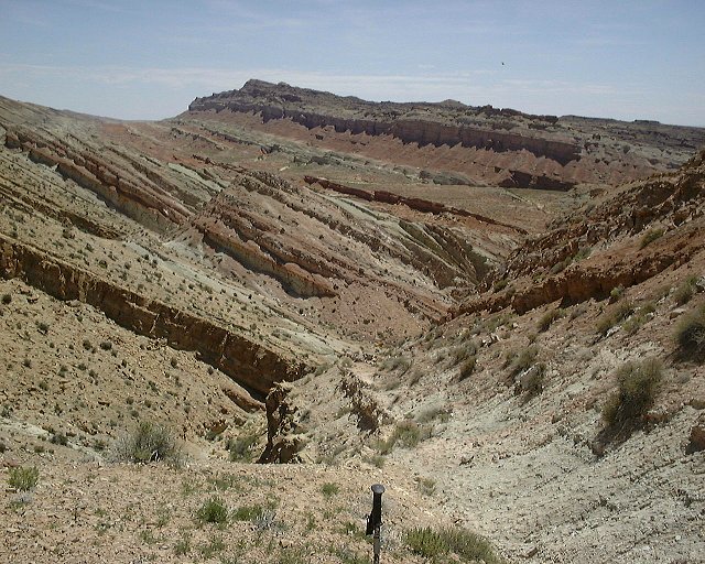 23. View north-east (towards Cistern) from the same spot.
 24. View east towards lower Cistern Cyn. from the ridge above it where I turned up after crossing about five minor ridges.
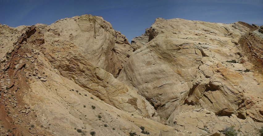 25. View towards the reef and Cistern Cyn. cutting through it from the same ridge.
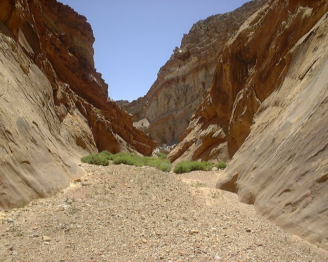 26. View downstream Cistern Cyn. from the place where I got down into the canyon.
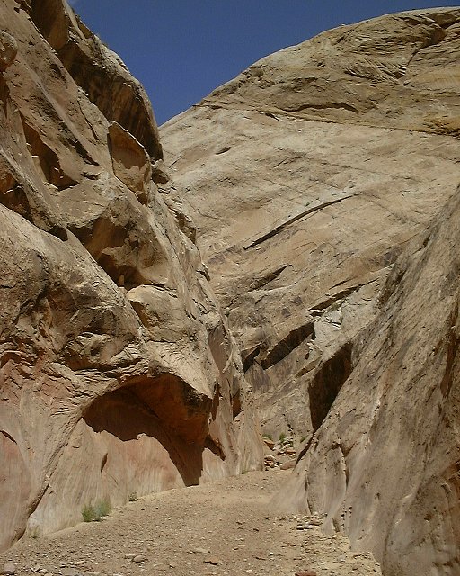 27. View upcanyon where the walls narrow.
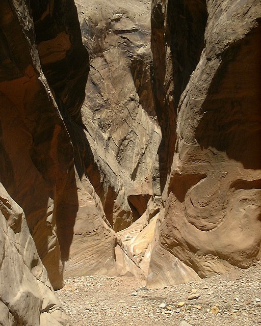 28. The narrowest place is at the lowest part of the canyon.
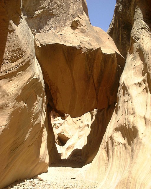 29. Large chokestone in lower Cistern, which can be easily walked under.
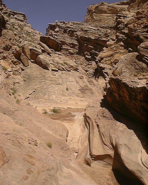 30. Rock slabs a little higher up.
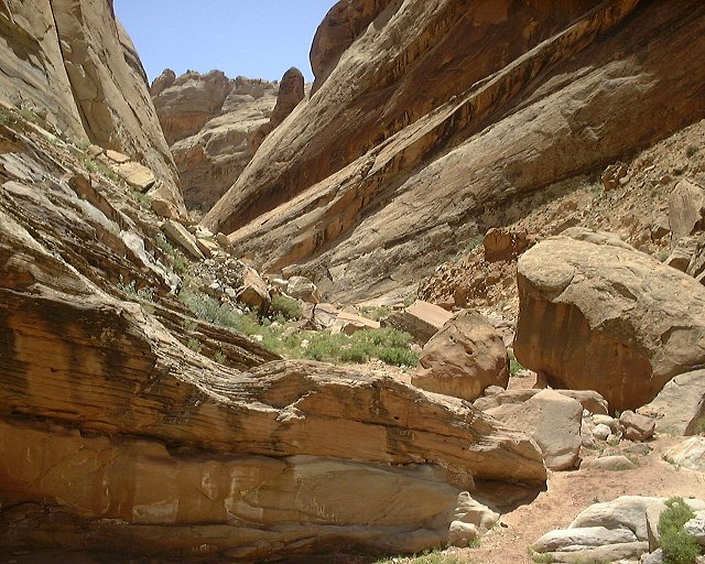 31. A wider area in the central part of the canyon.
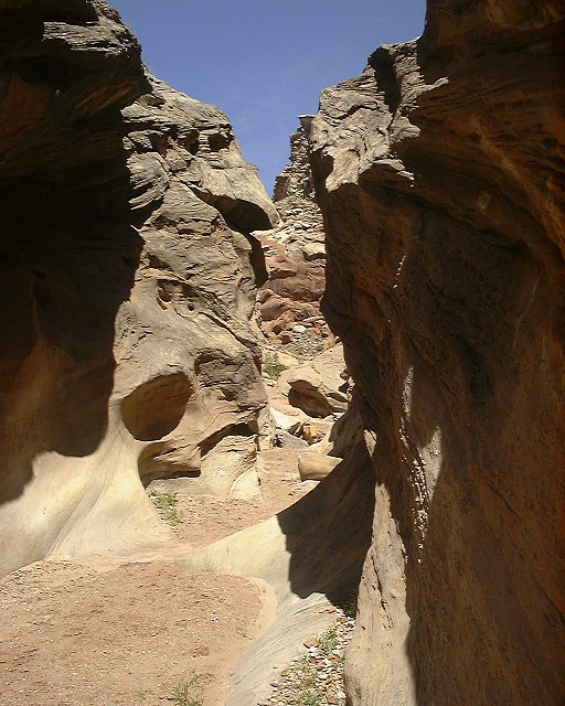 32. Narrower part near the upper end of the canyon.
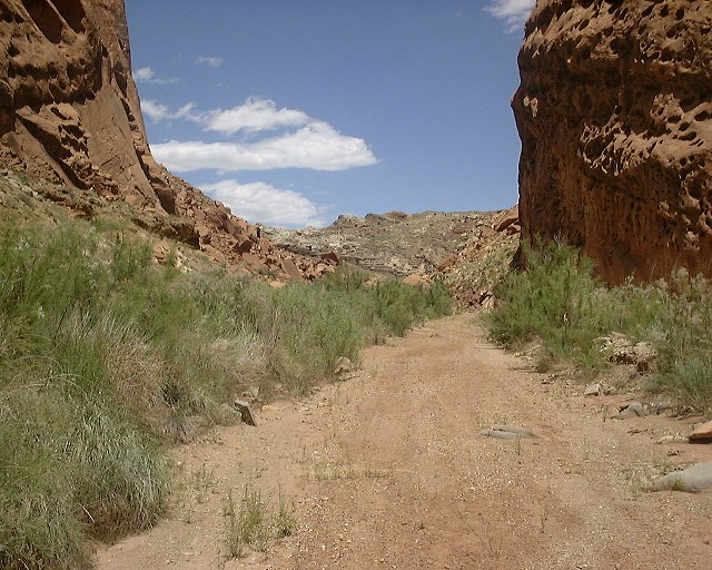 33. Wide opening as the canyon enters the San Rafael Reef.
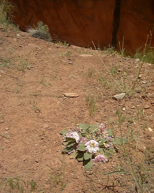 34. Desert flower run over by an ATV that was cutting off the trail at the upper Cistern Canyon.
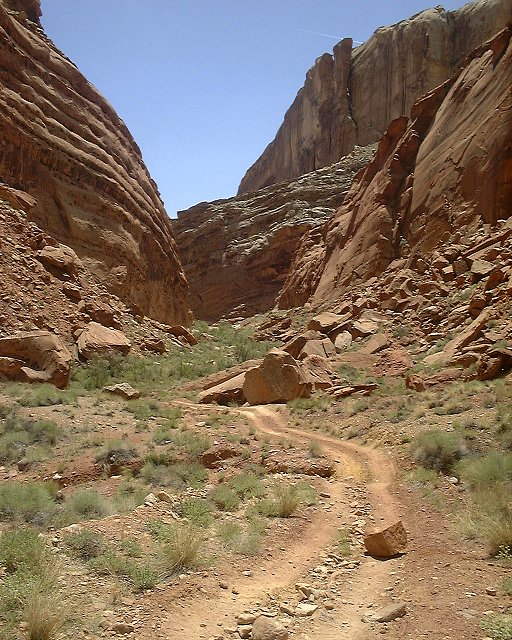 35. Cistern Canyon entrance with an ATV track, that runs on an old mining road and goes along the reef to Ramp Canyon.
 36. Panorama from the ATV track north towards upper Cistern Cyn. and tributaries.