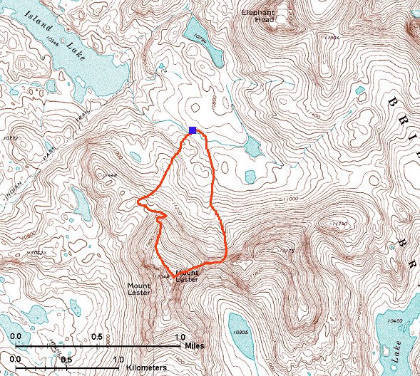
Climbing Mt. Lester
Skip map to see list of images
Or:
Follow the trail with the mouse.
Hold mouse over the map where the cursor changes to hand to see the description.
Click to view the image.
 1. View from under low northern Mt. Lester ridge north and east.
 2. View from a bit higher up south, towards the three summits of Mt. Lester.

 Two mountain flowers from Mt. Lester slopes.
 3. View up the steep northern slope which we used to climb up.
 4. View towards the two other Mt. Lester peaks from the northern slopes.
 5. Going sideways on the northern slopes, Island Lake and Titcomb Basin in the background.
 6. View down from the climb up north Mt. Lester ridge.
 7. View from the start of upper, less steep part of northern ridge, towards the summit.
 8. View from the steep northern flank of Mt. Lester towards the lower northern ridge.
 9. Hiking up the less steep northern ridge, view north towards Titcomb Basin.
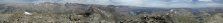 10. 360 deg. summit panorama from Mt. Lester.
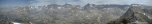 11. Zoomed panorama towards north and east, the main Wind River Mtns. ridge.

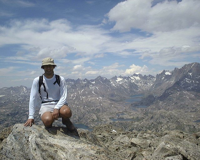
 Shots of the two of us on the summit.
 12. View down the southern Mt. Lester ridge, which we descended.
 13. View down the gully filled with scree which we used to descend from the Mt. Lester ridge. Fremont and Jackson Peaks in the background.
 14. View up from about 1/3 down the gully.
 15. View from lower part of the gully down.
 16. View towards the two southern summits of Mt. Lester from under the gully.
 17. Sliding down on a snow field in the lower part of the gully.
 18. Walking down the less steep snowfield.
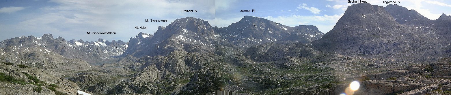
 19. Panorama west towards all three Mt. Lester summits from the basin nearby our campsite.
 20. View north from the basin east of Mt. Lester.
 21. View north further down the basin, about 100 m. from our campsite, towards the campsite.
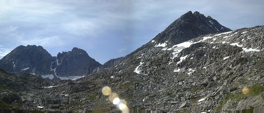 2. View from a bit higher up south, towards the three summits of Mt. Lester.
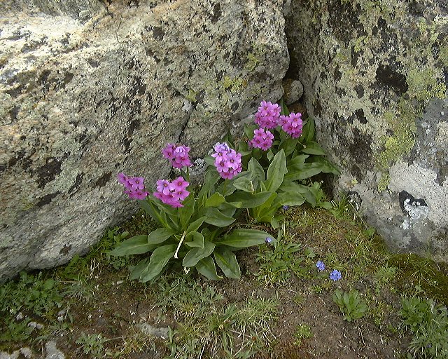
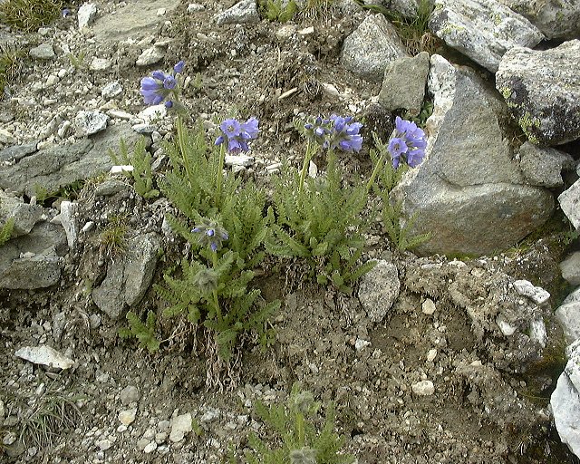 Two mountain flowers from Mt. Lester slopes.
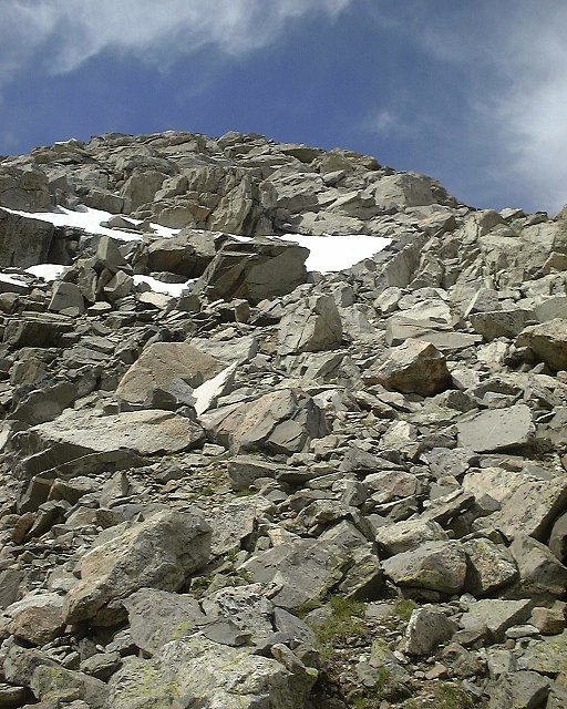 3. View up the steep northern slope which we used to climb up.
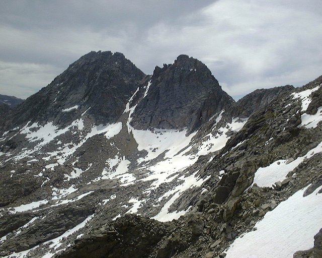 4. View towards the two other Mt. Lester peaks from the northern slopes.
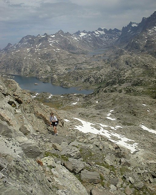 5. Going sideways on the northern slopes, Island Lake and Titcomb Basin in the background.
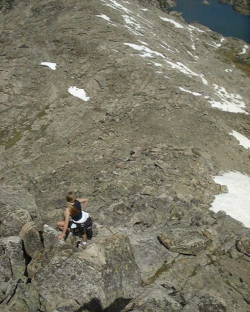 6. View down from the climb up north Mt. Lester ridge.
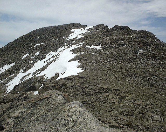 7. View from the start of upper, less steep part of northern ridge, towards the summit.
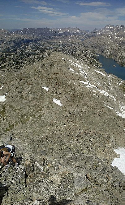 8. View from the steep northern flank of Mt. Lester towards the lower northern ridge.
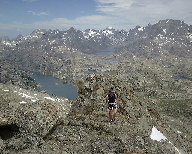 9. Hiking up the less steep northern ridge, view north towards Titcomb Basin.
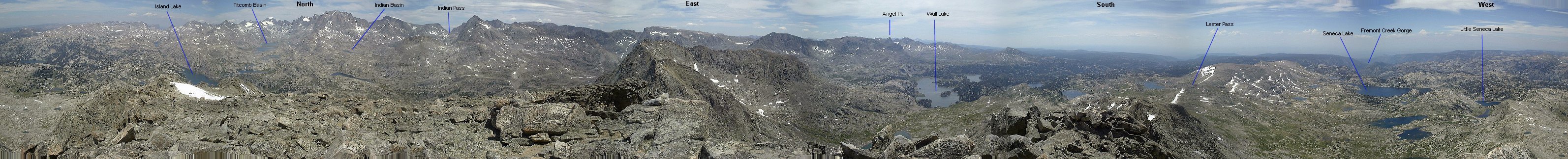 10. 360 deg. summit panorama from Mt. Lester.
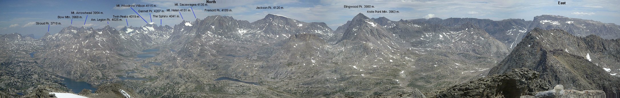 11. Zoomed panorama towards north and east, the main Wind River Mtns. ridge.
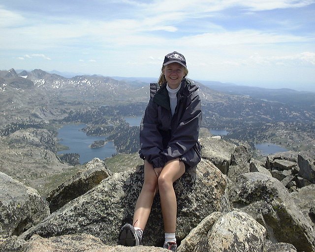
 Shots of the two of us on the summit.
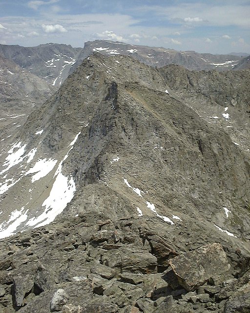 12. View down the southern Mt. Lester ridge, which we descended.
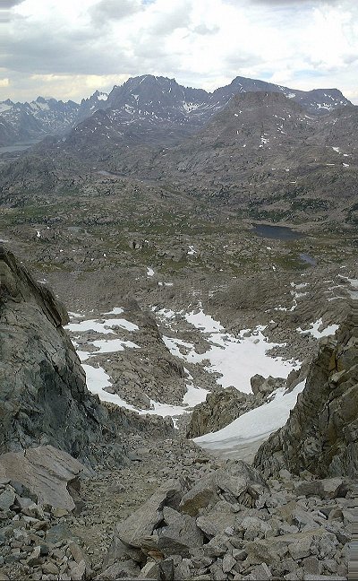 13. View down the gully filled with scree which we used to descend from the Mt. Lester ridge. Fremont and Jackson Peaks in the background.
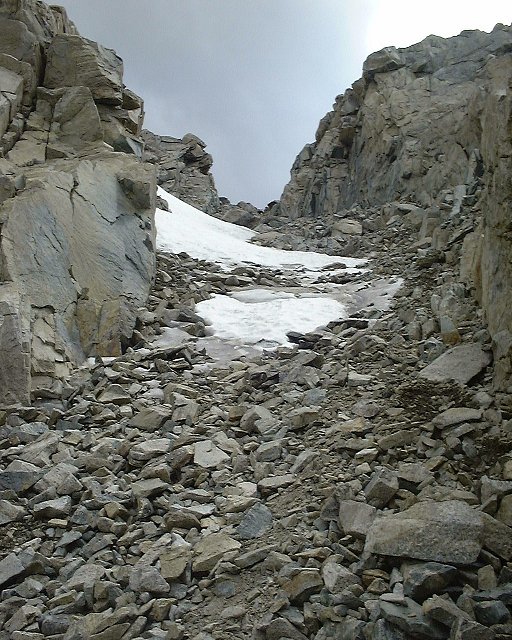 14. View up from about 1/3 down the gully.
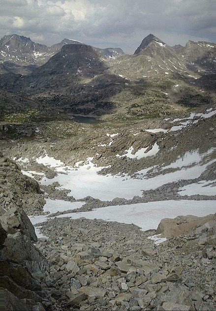 15. View from lower part of the gully down.
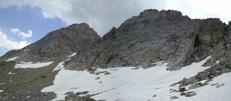 16. View towards the two southern summits of Mt. Lester from under the gully.
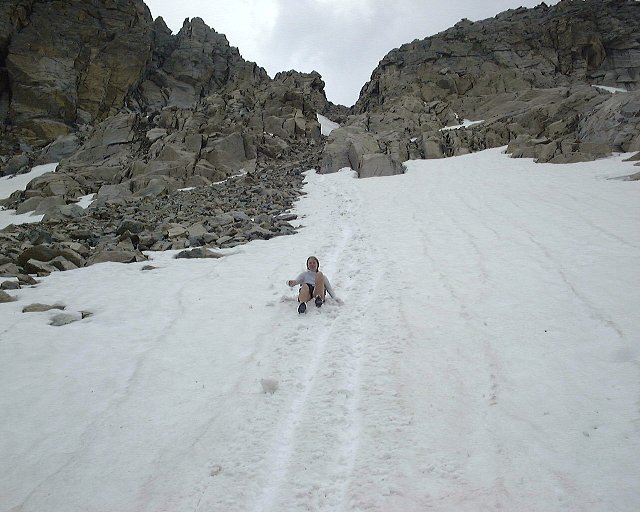 17. Sliding down on a snow field in the lower part of the gully.
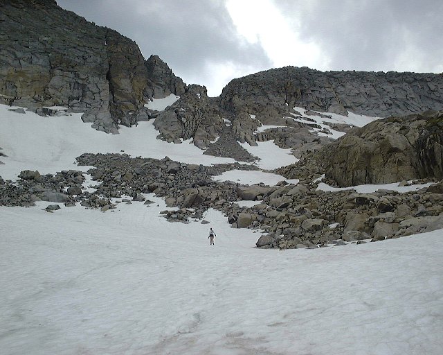 18. Walking down the less steep snowfield.
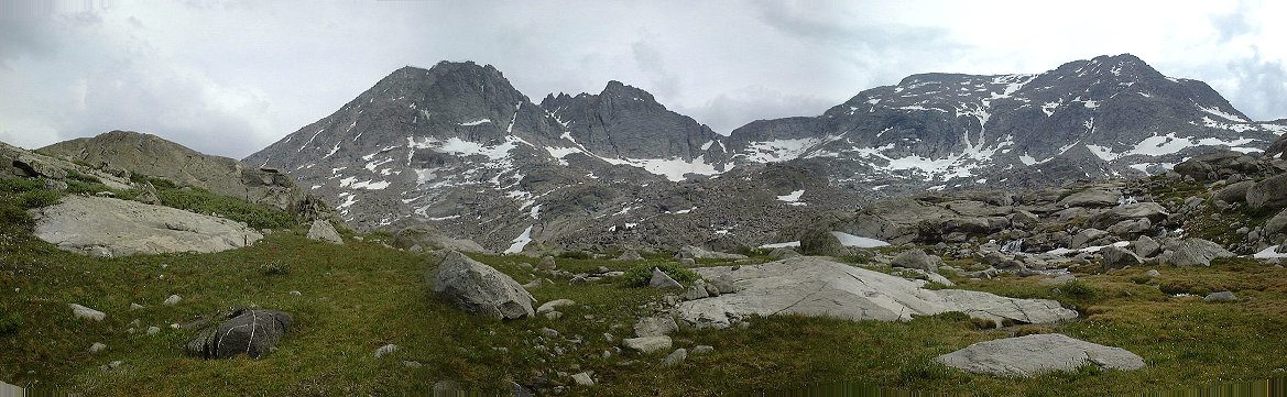 19. Panorama west towards all three Mt. Lester summits from the basin nearby our campsite.
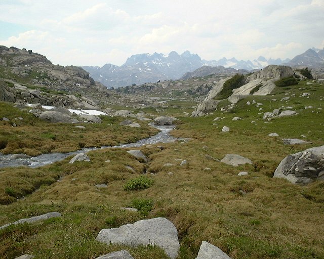 20. View north from the basin east of Mt. Lester.
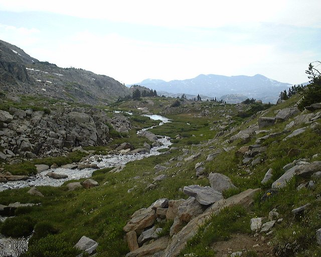 21. View north further down the basin, about 100 m. from our campsite, towards the campsite.