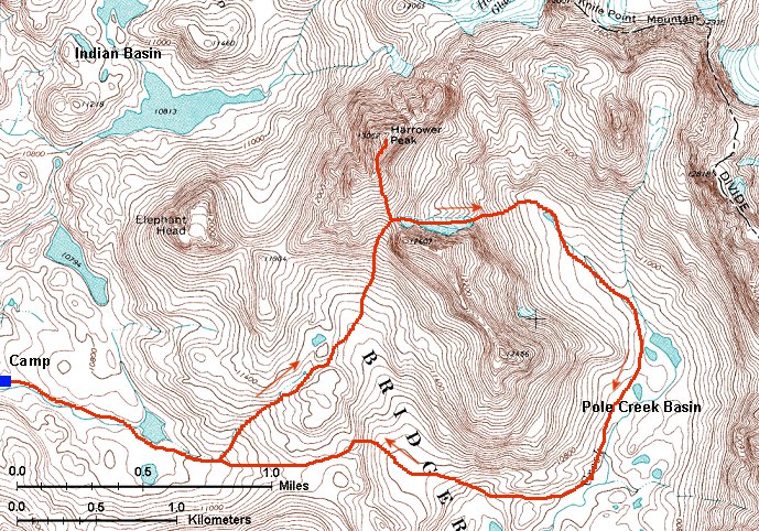
Climbing Elingwood Peak and hiking into upper Pole Creek Basin
Skip map to see list of images
Or:
Follow the trail with the mouse.
Hold mouse over the map where the cursor changes to hand to see the description.
Click to view the image.
 1. View east at the saddle south of Elingwood Pk. which I used to climb up.
 2. View west at Mt. Lester from a small saddle west of SW Elingwood valley.
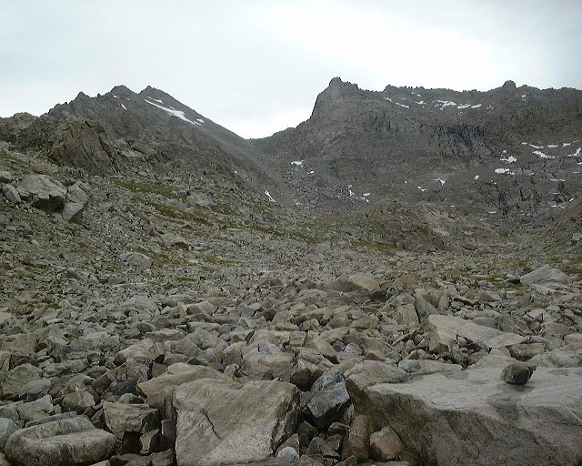
 3. View down the valley that goes SW of Elingwood Peak towards upper Pole Creek Basin.
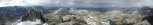
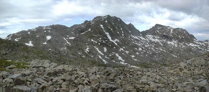
 4. Panorama of the steep ridge south of Elingwood Pk. and the pass I went into.
 5. View from about 2/3 climb up to the pass down, towards Pole Creek lakes.
 6. View up to the saddle from the same spot.
 7. View west from the saddle, on the right is the snowfield on which I went down.
 8. View up Elingwood's south slope from the saddle.
 9. Rugged main ridge, the real summit is hidden behind.
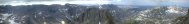
 10. Panorama from almost Elingwood summit south and west.
 11. Look at the Elingwood summit from where I turned around.
 12. View east from the same spot, below the high basin under Elingwood and Knife Point Mtn.
 13. Zoomed panorama south from Elingwood's southern slope.
 14. A flower on the south flank of Elingwood, Mt. Lester in the background.
 15. View up to the saddle from below the snowfield and start of big boulders.
 16. View down the boulder-filled slope.
 17. View up to the saddle with the boulder slope that needs to be descended below the snowfield.
 18. View down (SE) the uppermost part of the Pole Creek Basin.
 19. View north towards the end of the basin.
 20. View SW about 1 km down upper Pole Creek Basin.
 21. View into small high basin SE of main Pole Creek Basin.
 22. View west to Pole Creek lakes from where I started turning west.
 23. View NW towards the two saddles that lead to Island Lake.
 A new kind of flower in the bush nearby.
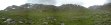 24. Panorama of the lower valley that goes SW from Elingwood Pk..
 25. View north towards Island Lake from the pass dividing it from Pole Creek Basin.
 2. View west at Mt. Lester from a small saddle west of SW Elingwood valley.
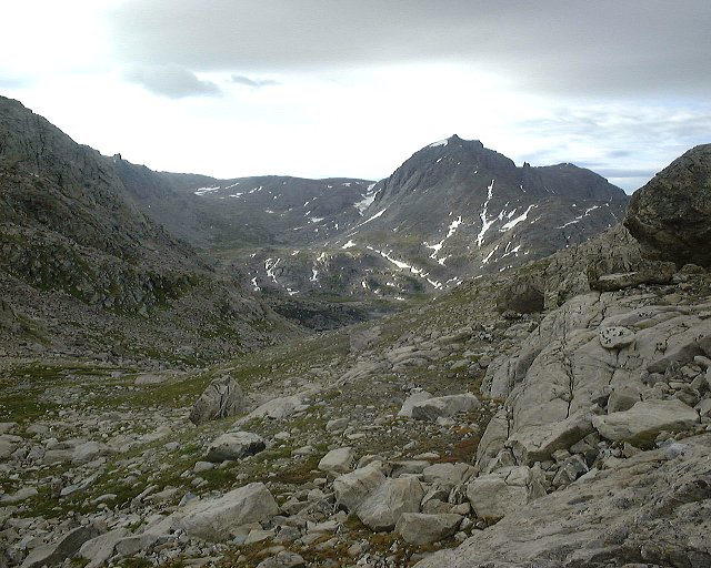 3. View down the valley that goes SW of Elingwood Peak towards upper Pole Creek Basin.
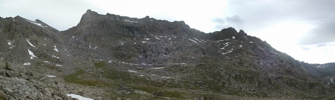 4. Panorama of the steep ridge south of Elingwood Pk. and the pass I went into.
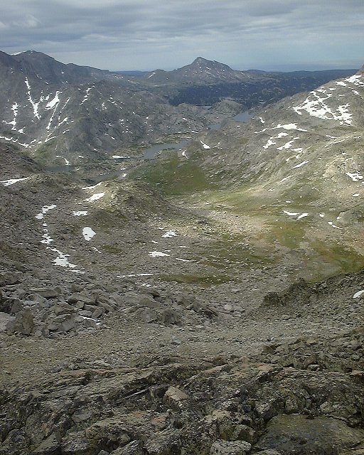 5. View from about 2/3 climb up to the pass down, towards Pole Creek lakes.
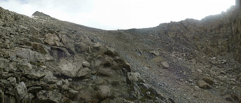 6. View up to the saddle from the same spot.
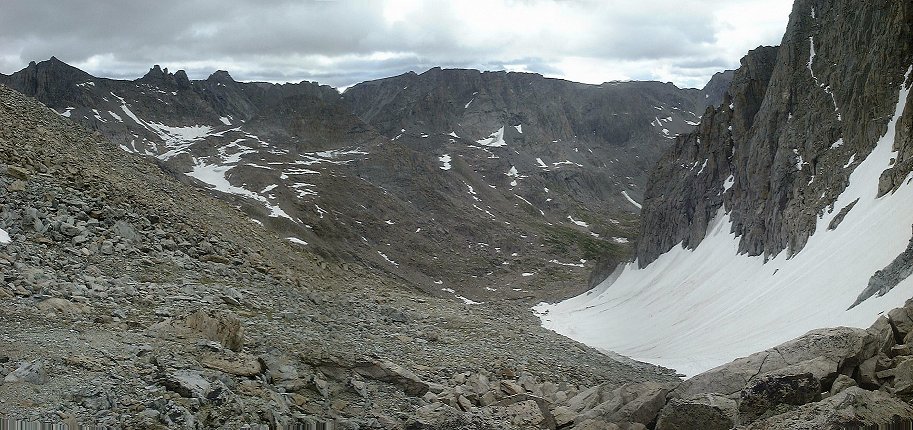 7. View west from the saddle, on the right is the snowfield on which I went down.
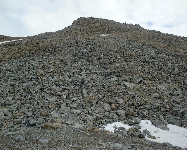 8. View up Elingwood's south slope from the saddle.
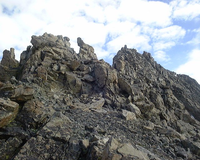 9. Rugged main ridge, the real summit is hidden behind.
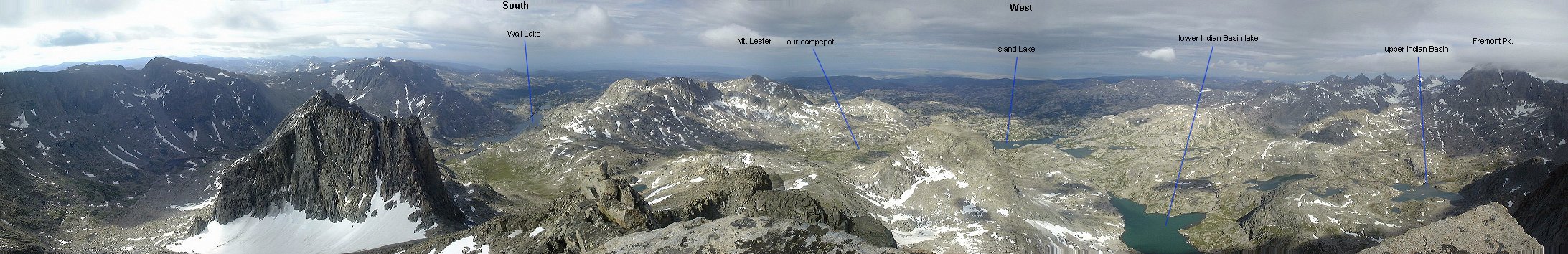 10. Panorama from almost Elingwood summit south and west.
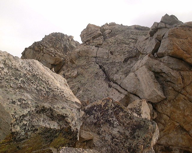 11. Look at the Elingwood summit from where I turned around.
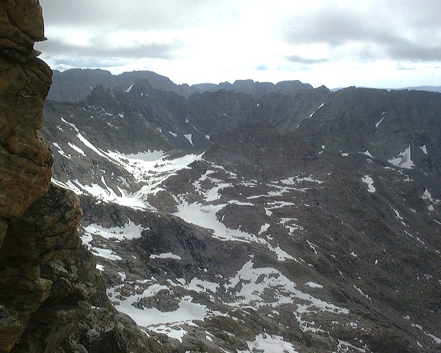 12. View east from the same spot, below the high basin under Elingwood and Knife Point Mtn.
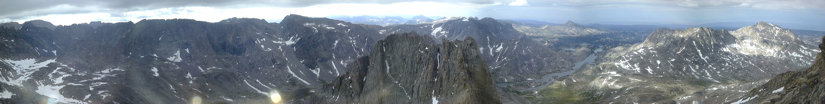 13. Zoomed panorama south from Elingwood's southern slope.
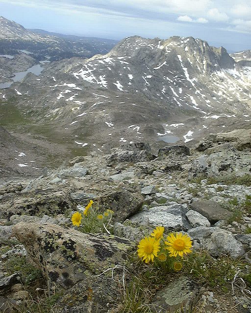 14. A flower on the south flank of Elingwood, Mt. Lester in the background.
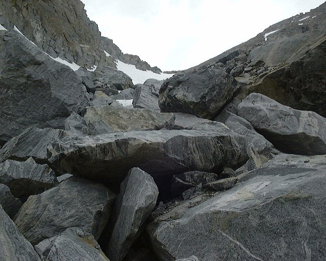 15. View up to the saddle from below the snowfield and start of big boulders.
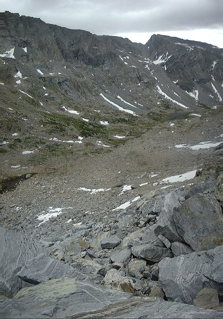 16. View down the boulder-filled slope.
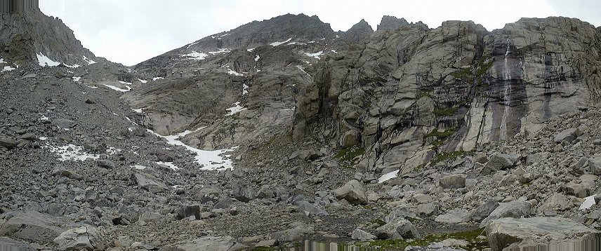 17. View up to the saddle with the boulder slope that needs to be descended below the snowfield.
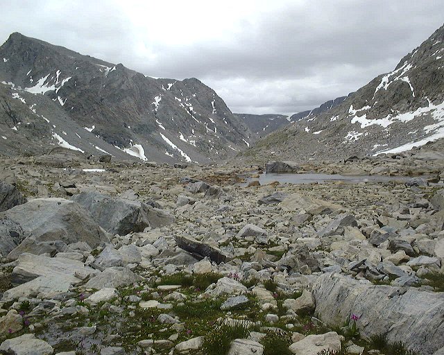 18. View down (SE) the uppermost part of the Pole Creek Basin.
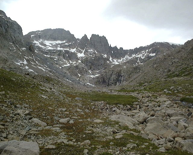 19. View north towards the end of the basin.
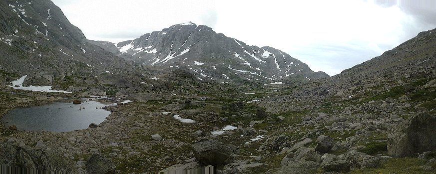 20. View SW about 1 km down upper Pole Creek Basin.
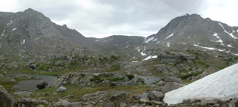 21. View into small high basin SE of main Pole Creek Basin.
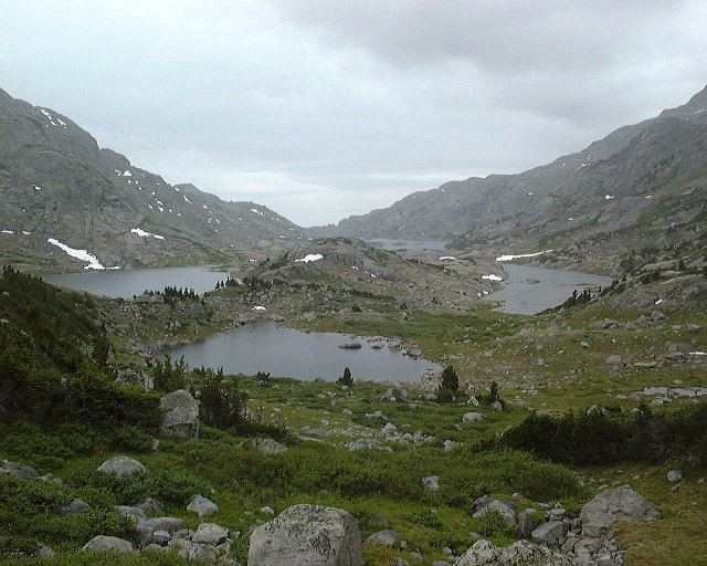 22. View west to Pole Creek lakes from where I started turning west.
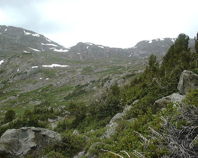 23. View NW towards the two saddles that lead to Island Lake.
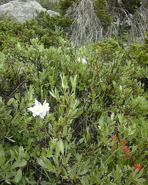 A new kind of flower in the bush nearby.
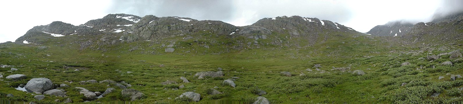 24. Panorama of the lower valley that goes SW from Elingwood Pk..
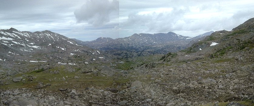 25. View north towards Island Lake from the pass dividing it from Pole Creek Basin.