
Moab has a lot more to offer than just rides on the slicrock. Since I have been in this area so far only in the fall, I haven't ridden the upper trail in the La Sal Mountains, below is a sampler from the trails at about Moab elevation, i.e. in the desert.
Moab Rim Trail
Moab Rim Trail
First ride on my fall 99 trip to Moab. Since I got to the campsite on Fri around 3pm, I hopped on my bike and went to the Moab Rim trail. This one starts from the Colorado River valley few miles downstream from Moab, climbs for about a mile on a slickrock, the toughest climb I have made so far. Then the trail continues for several miles behind the rim, on a mix of slickrock, gravel and sand. The endpoint is an overlook to the east towards the Moab valley.
Porcupine Trail
On Saturday during my fall 99 Moab trip, several of us did the Porcupine Rim Trail, which is a quite long (>30 mi.) but rewarding adventure. We biked from our campsite for about 5 miles east to the end of the dirt road (quite unpleasant ride). Here the real trail starts, slowly climbs for about a mile or two to the top of the rim, from which, towards the east, one can see the Castle Valley and the La Sal mountains in the south. From here, the trail slowly descends on a jeep road towards the Colorado River, turning to a cool singletrack for the last several miles. After that, there are good 5 miles on the road back to Moab.
Second time, four years later, I did the whole loop with a bit more ease. Again starting at the Sand Flat campground. Most of the people seem to be doing this as a shuttle, there are several services in Moab. This cuts off the climb on the road from Moab to the trailhead, first few miles on pavement, the rest on dirt. The return on the road along Colorado to Moab is quite leisurly and only the biggest wuss would shuttle that.
Here is topo map and fotos from the trail as of fall 2003 and Here is topo map and fotos from spring 2005.
Slickrock Trail
On Sunday of the fall 99 trip, we went on the Slicrock Trail. It is about 11 miles long and goes mostly on the sandstone, which has an amazing traction, enabling one to go up and down on very steep sections. The main barrier in my case was fear. This is the first ride of the weekend where I did not forget to take my camera, so there are some pictures below. It took us about 3 hours of leisure ride to do the loop.
In the fall 00, I did the main loop in 1.5 hours before the sunset. It was right after rain, but the slickrock was almost dry, I had to push only in a couple of sandy spots - the wet sand was very heavy to get through. Main advantage was that I met only two people during the whole ride.
Another visit in Moab in fall 03, rode the trail on Monday afternoon, it was again not crowded at all.
Here is topo map and fotos of the trail from fall 2003 and here topo map and fotos from spring 2005.
Udo looking down the trail.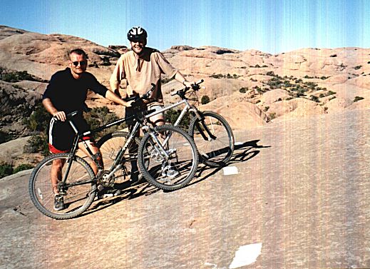 Udo and Misha on the Slickrock Trail.
 Three Ms at the Colorado River overlook.
 View towards Moab from the overlook.
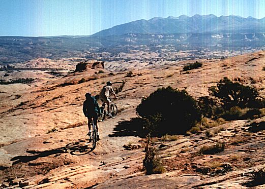 Leaving the overlook, La Sals in the distance.
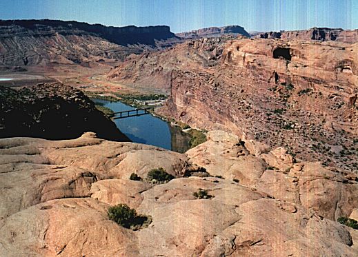 Colorado River with the highway bridge from another ovelook side trip.
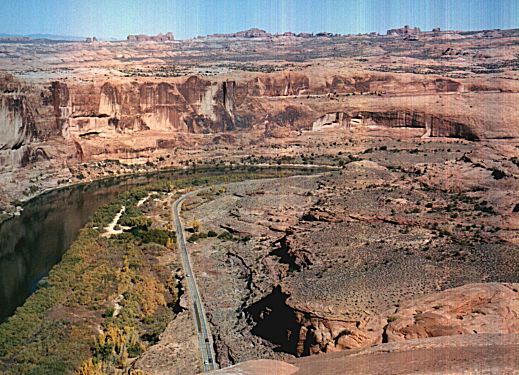 View upstream the Colorado River from a nearby point.
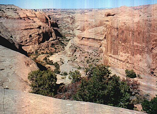 Negro Bill Canyon, accessible by a short sidetrip from the Practice Loop.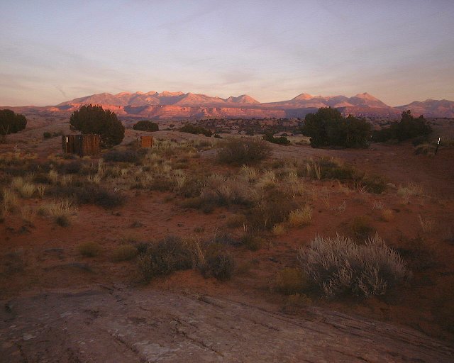
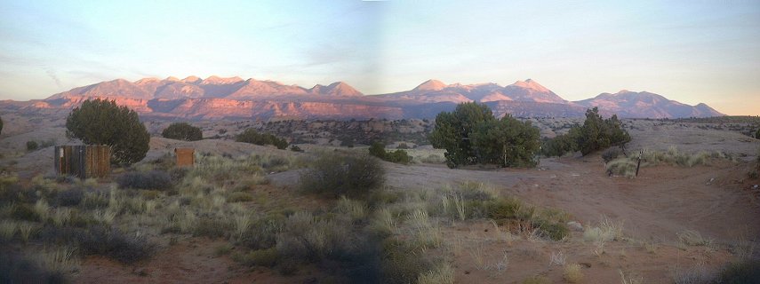 Two sunset shots of the La Sals from the Sand Flat campground.
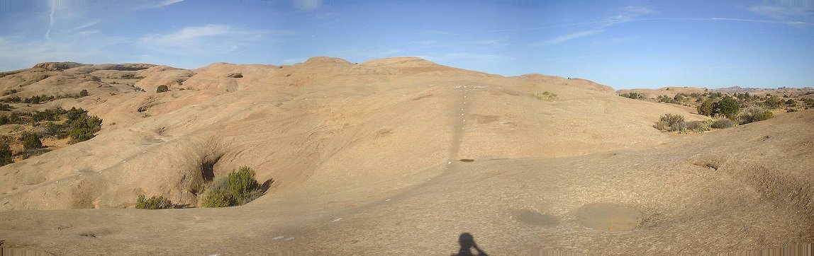 Panorama of where the main Slickrock loop starts.
 Panorama of the unobtrusive side trail turn in the northeastern part of the main loop.
 Panorama from the northern viewpoint right above the river.
 Klondike Bluffs - Gayathri getting ready for the plunge down.
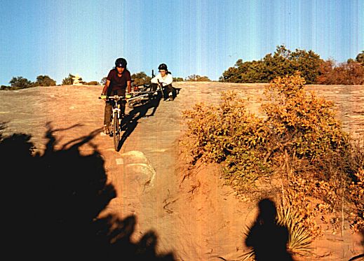 And the actual descent went quite smoothly.
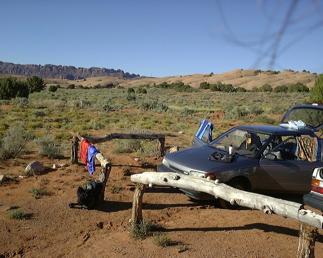 Sun. morning at the Sand Flats Cg., view towards Moab Rim.
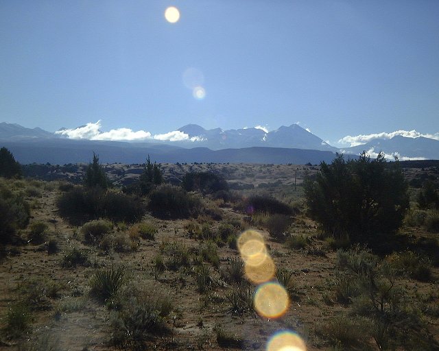 View towards the La Sals from Sand Flats.
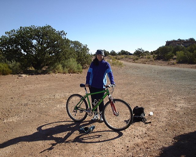 Starting the Gemini Bridges trail.
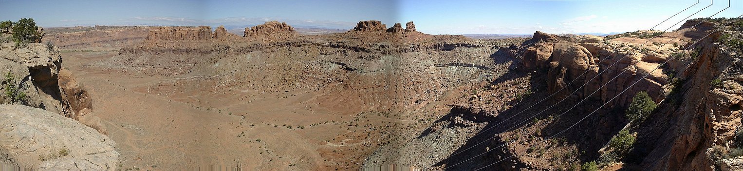 Panorama towards the Sevenmile Canyon, a small tributary in the front.
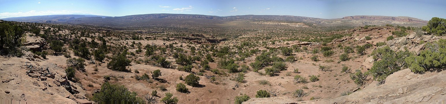 Panorama from the rim west of Moab Cyn. to the south, Archs Pasture is the flat area all around.
 Panorama to the Moab Canyon from the rim west of it.
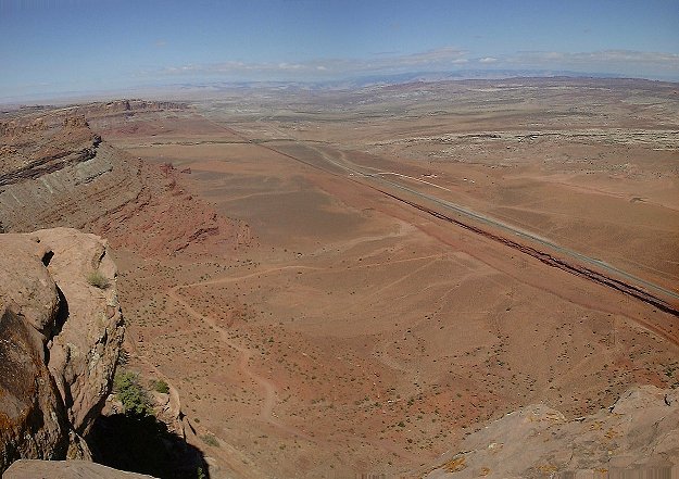 View from the rim west of Moab Canyon north.
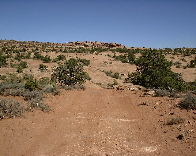 View up the rim south of Moab Canyon, one of the slickrock benches on which it was hard to find the trail.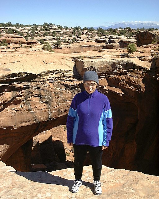
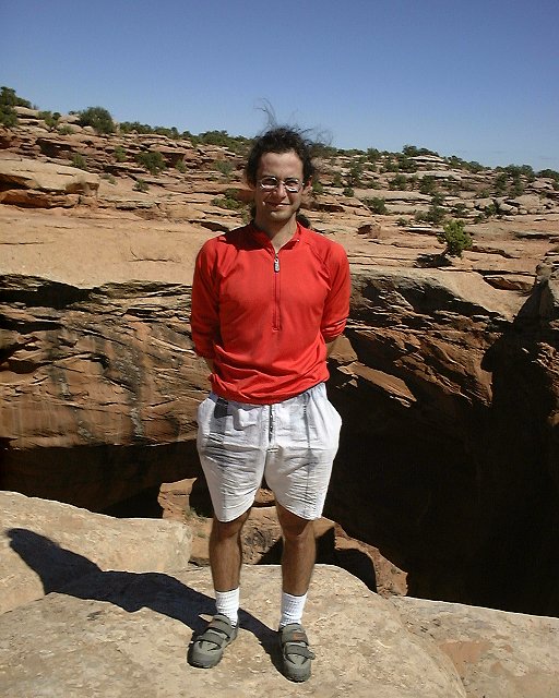 The two of us at the Gemini Bridges.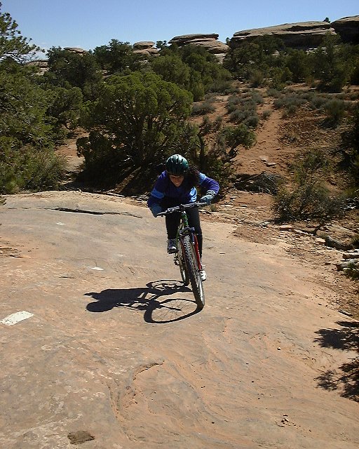
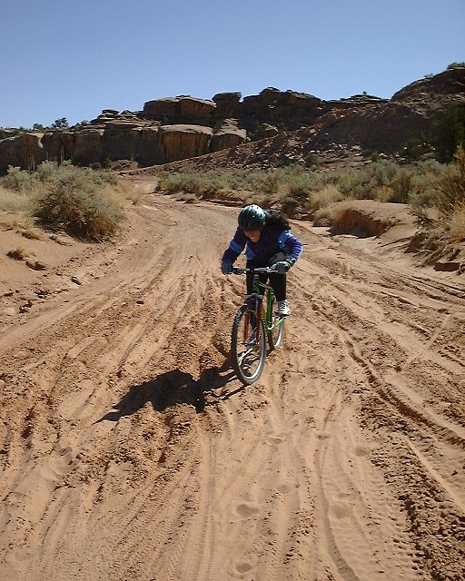 Dina battling with the trail below Gemini Bridges.
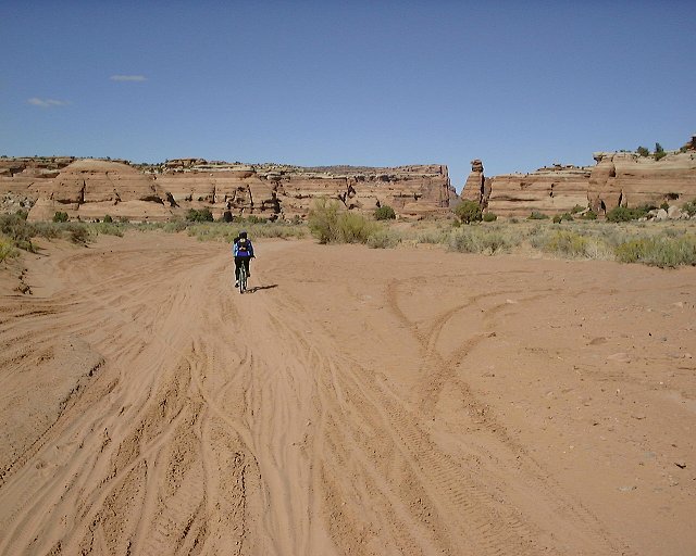 Trail in the Little Canyon.
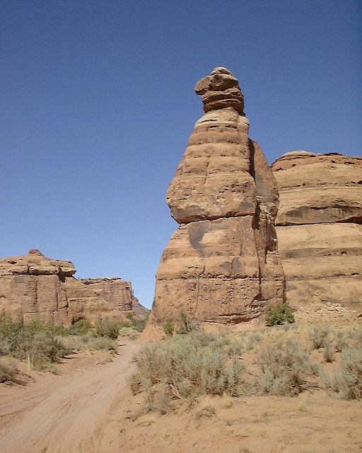 A bird-like rock guarding the entrance to the narrower part of Little Canyon.
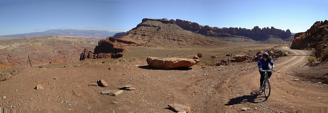 Climbing out of Little Cyn. towards Moab Cyn..
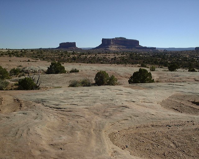 Monitor and Merrimac from the south part of the M&M loop (view south).
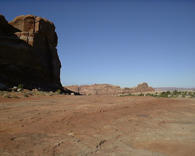 On the slicrock plateau on the M&M trail, looking NE.
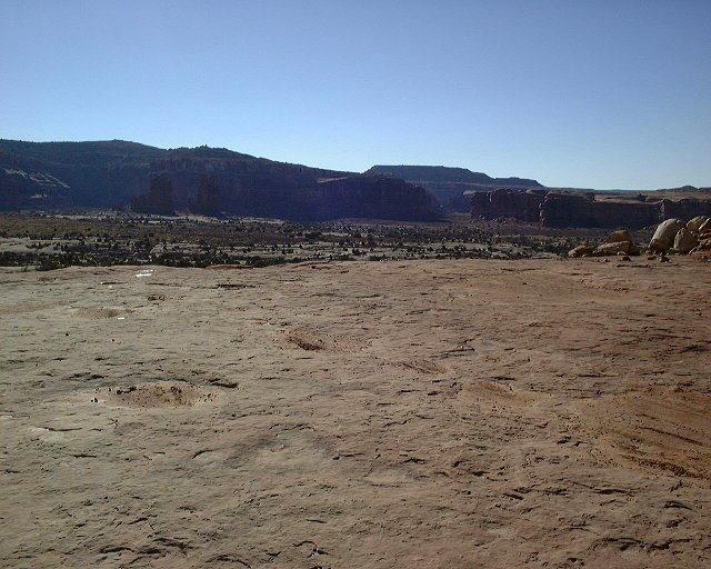 From the same spot looking SW towards Mill Cyn.
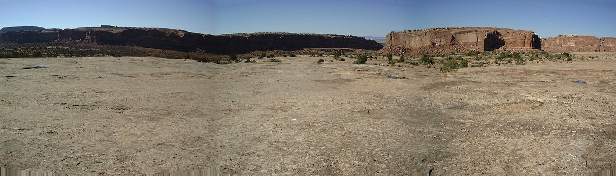 Panorama from the slicrock plateau west of Courthouse Rock towards N.
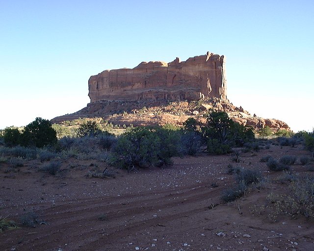 Monitor Butte from the slickrock plateau in between of Monitor and Merrimac.
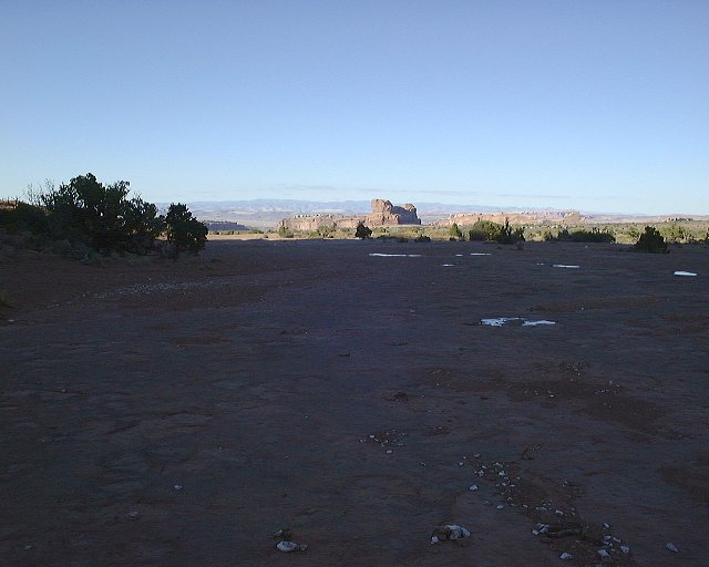 View towards Mill Cyn. from the same spot.
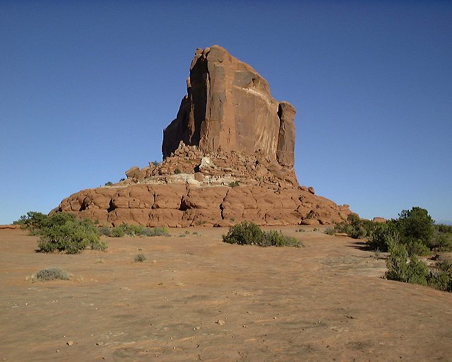 Monitor again, view of its narrow part.
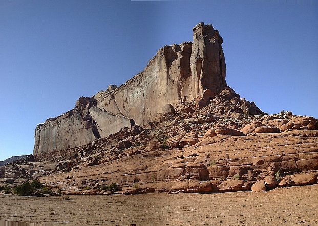 Merrimac Butte from the same spot.
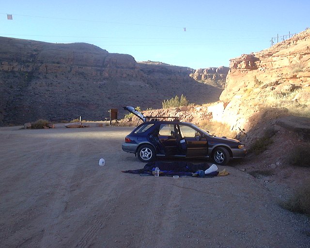 Poison Spider trailhead.
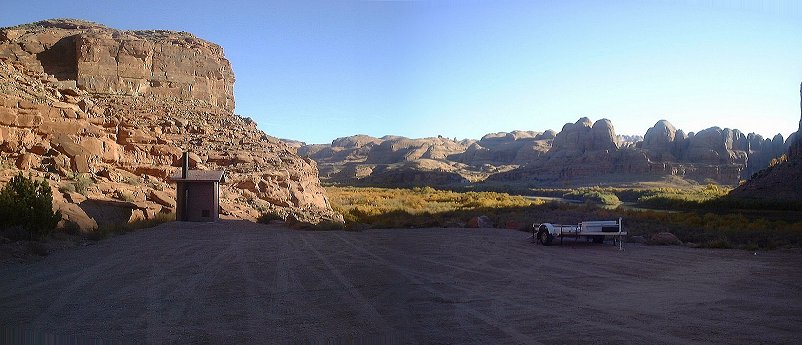 The other side of the trailhead parking lot in the early morning.
 Sandy road climbing up a short canyon.
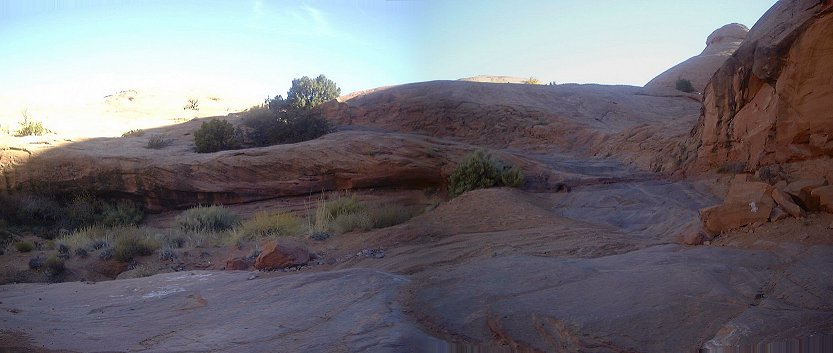 First slicrock steps area, which makes Poison Spider trail famous.
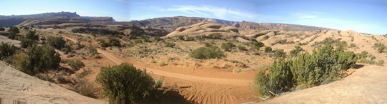 Panorama from another slickrock bench above the second sandy section.
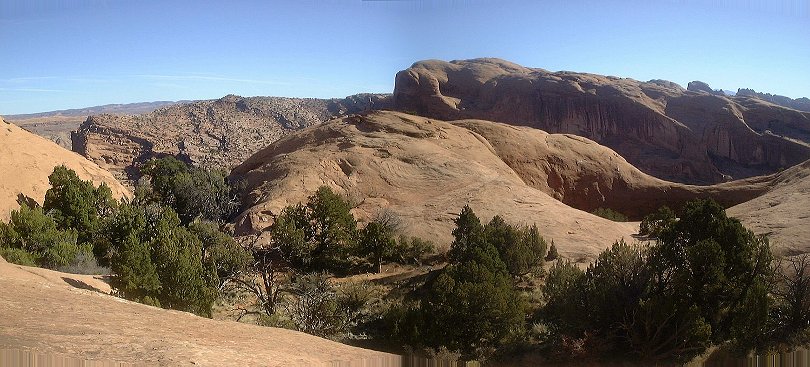 On the slickrock heading towards Little Arch.
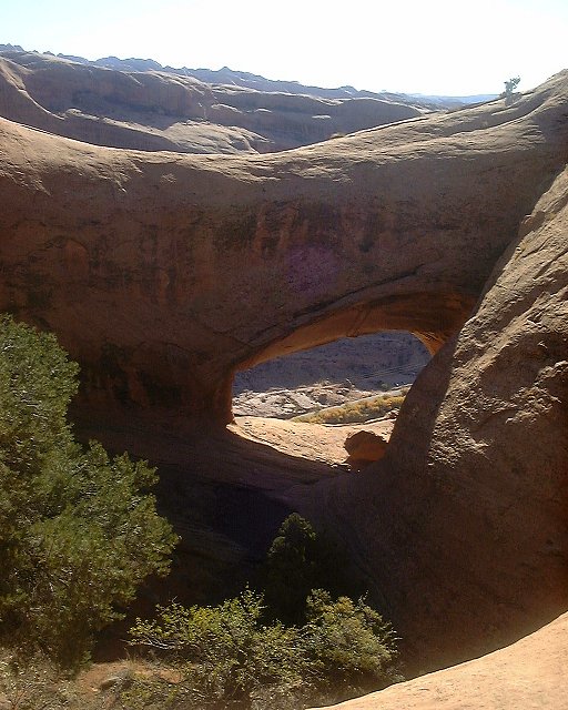 View at the other bank of Colorado through the Little Arch.
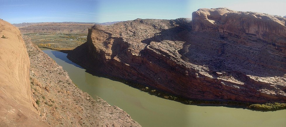 View north from the Little Arch, towards the Portal with Moab in the background.
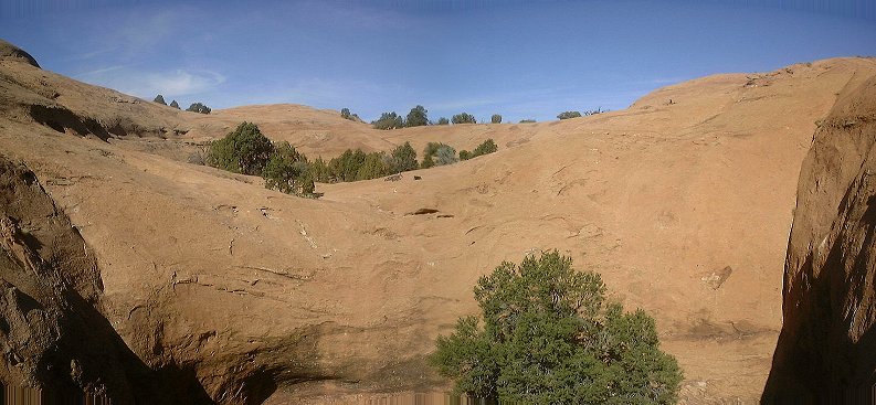 View from Little Arch towards the Poison Spider slicrock, where I came from.
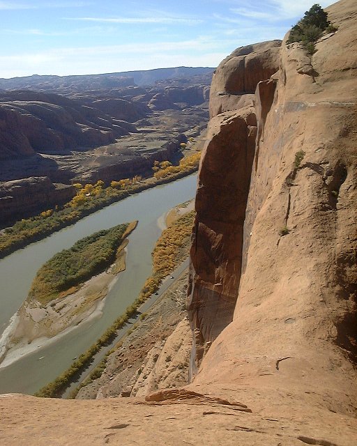 View down the cliff standing on Little Arch.
 Panorama north-east from the start of the Portal singletrack.
 View south-west from the same spot
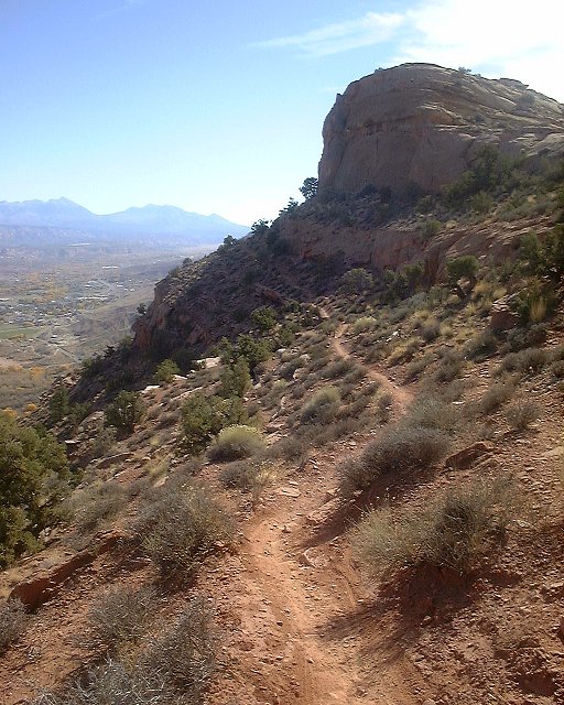 First, fairly easy, part of Portal trail.s
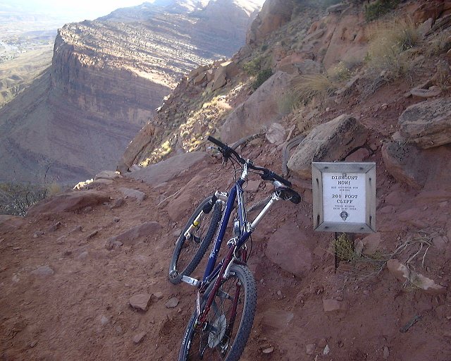 First warning ca. 500 m. farther.
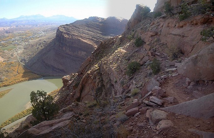 View down the trail right past the first warning sign.
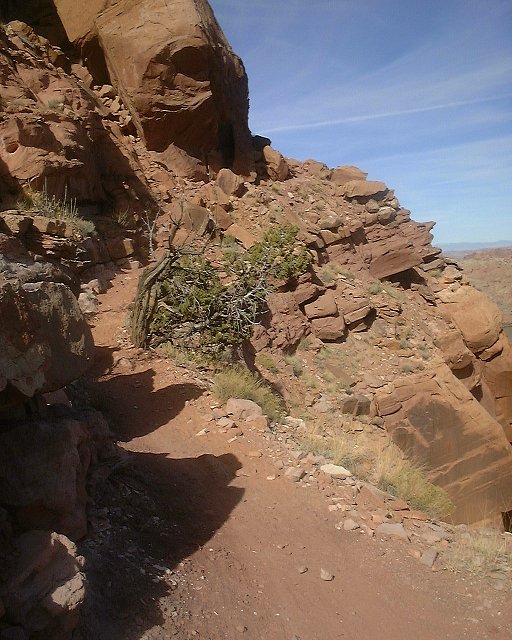 View up the trail past the first trouble spot.
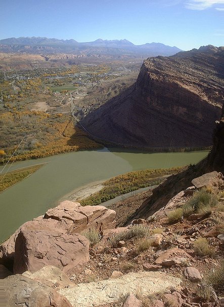 View down at this spot.
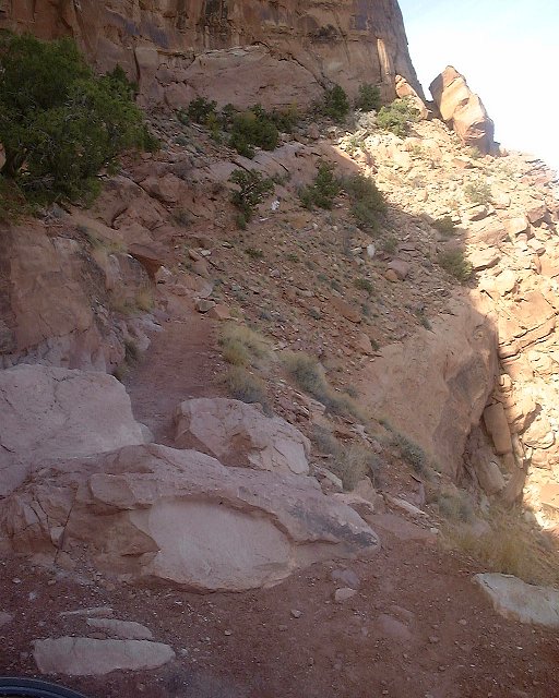 The deadly spot, supposedly three bikers did not make the hop over this rock and fell down the cliff. I walked it.
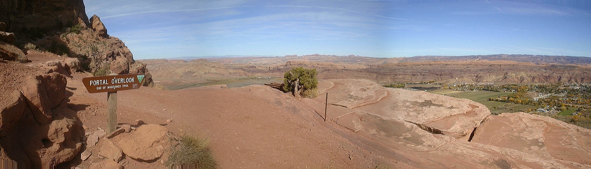 Panorama north-east where the oficial Portal trail ends (right below the deadly spot).
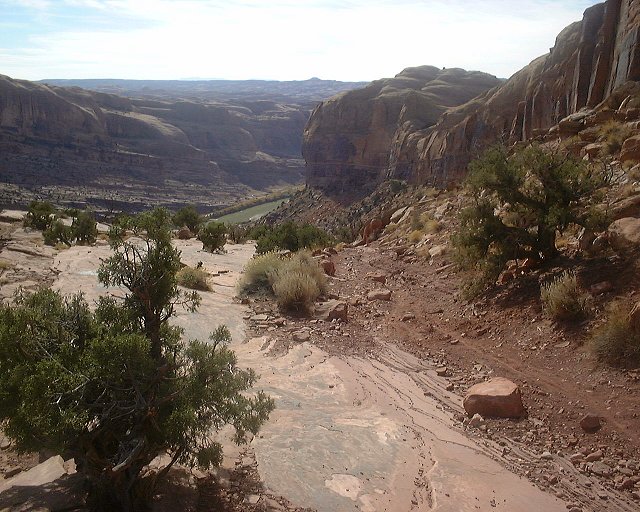 View down the trail from the same spot.
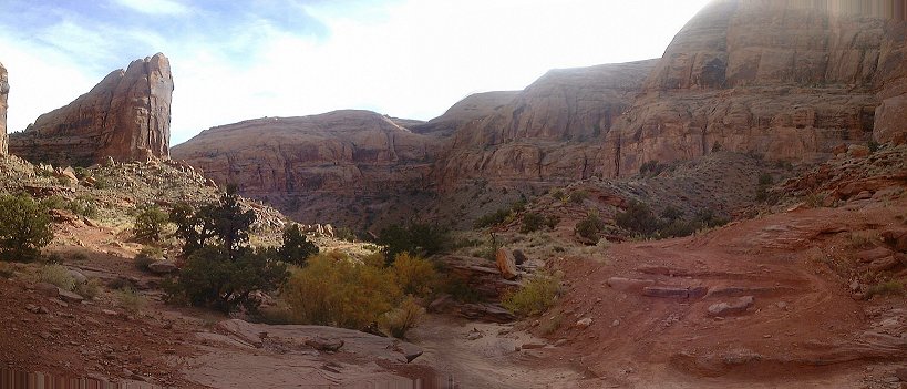 View up the canyon from the same spot.
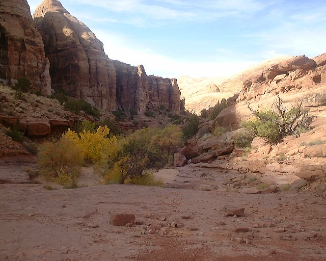 View down Pritchett Canyon about 1 km from the bottom.
 The road climbing up another few kms higher.
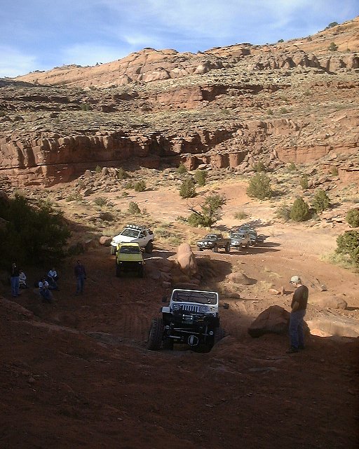 Jeepers having fun at a definite portage spot about 4 kms. up the canyon. I must say that I have found the jeeps the least obtrusive from the motorized "recreationists" that swarmed all over the place. Motorcycles and ATVs are much more annoying due to their noise and smell.
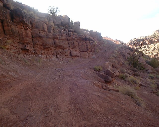 The trails climbing up right past the portage spot.
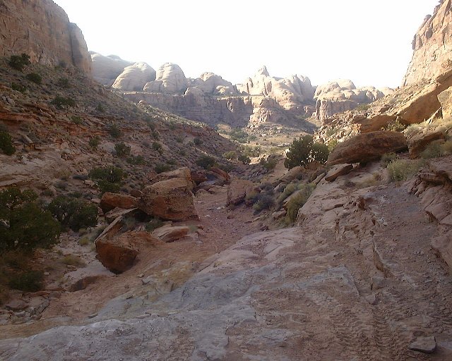 View down from another technical slickrock step. Climbing most of these in Pritchett was difficult due to the sand and gravel, that covered the slickrock.
 The higher the trail goes, the more difficult it gets.
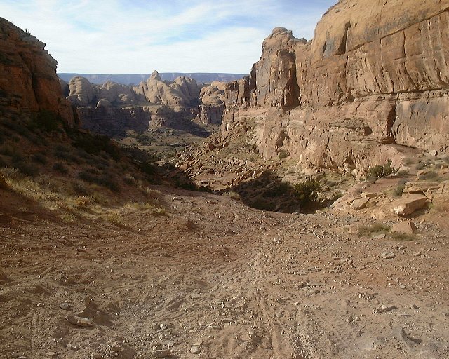 View down from White Knuckle Hill, which marks the end of Pritchett Canyon, and end of major climbing. Also, due to the loose surface, I pushed a good part of it.
 View down the road from White Knuckle Hill, the descent is fairly nice.
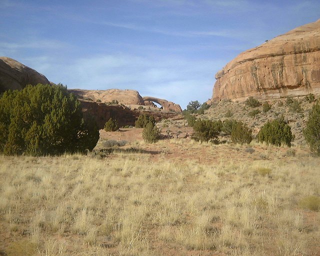 Pritchett Arch as seen from the road.
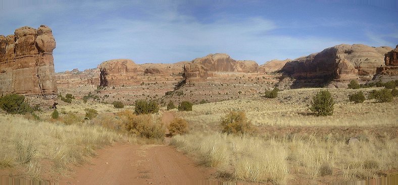 A look up the road (north) from the same spot.
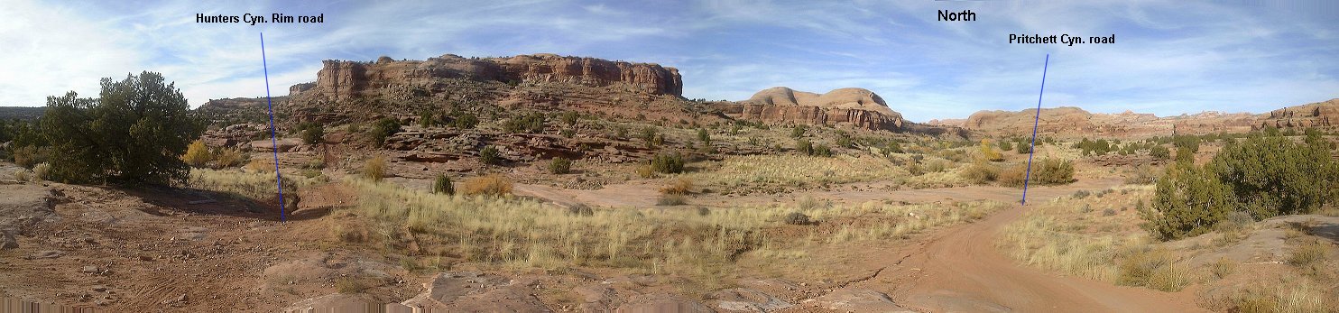 Panorama of the intersection with Hunter Canyon Rim trail.
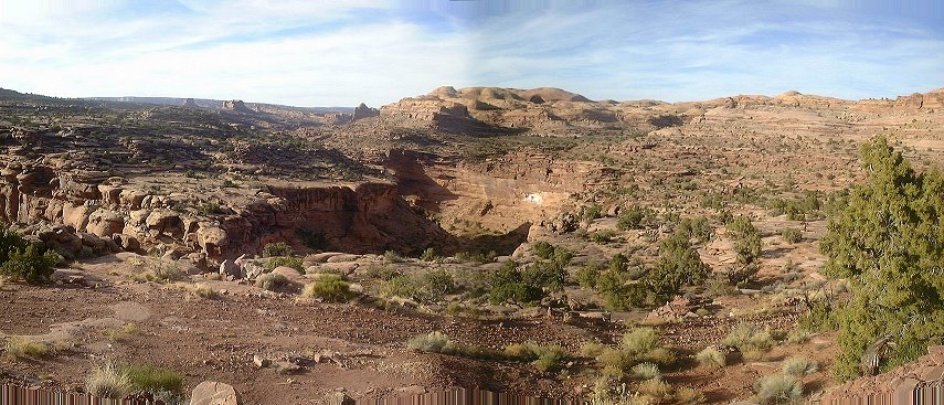 View down Hunter Canyon from the rim after about 2 kms down the road.
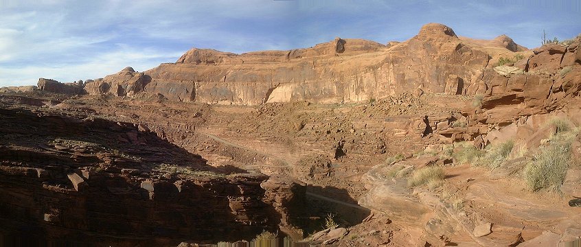 View from the trail as it enters Kane Springs Cyn. rim, Kane Springs Rd. visible in the distance.
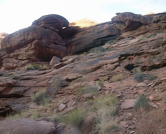 The most difficult part of the portage down into Kane Springs Cyn., basically a 3 m. class 4 scramble down.
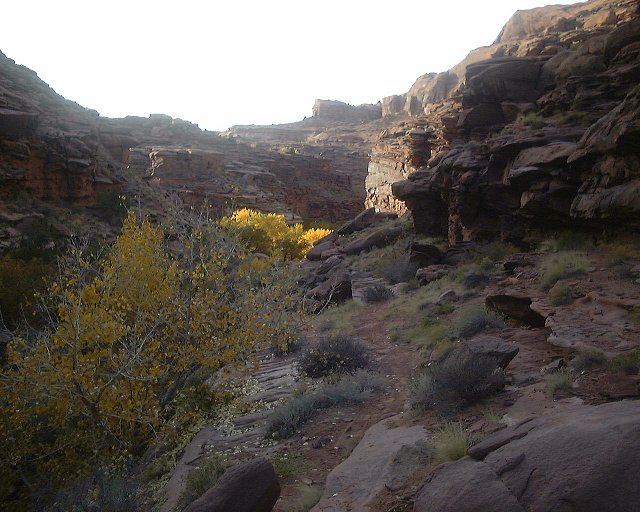 View down the little side canyon past the climb down. Kane Springs Cyn. is about 100 m. downstream.
A good epic ride combining some famous dirt road rides near Moab into a single loop. Just mind that this is not for an average rider and Kane Springs Canyon is relatively rough at spots. Here is topo map and fotos from the ride.
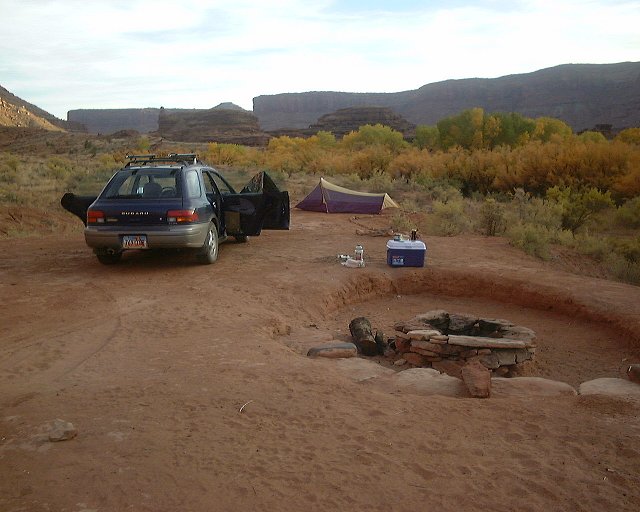 Evening at the de-luxe campsite in Kane Springs Canyon.
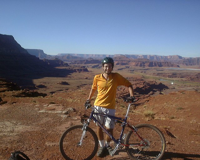 Me in Hurrah Pass, looking west.
 Panorama west from Hurrah Pass.
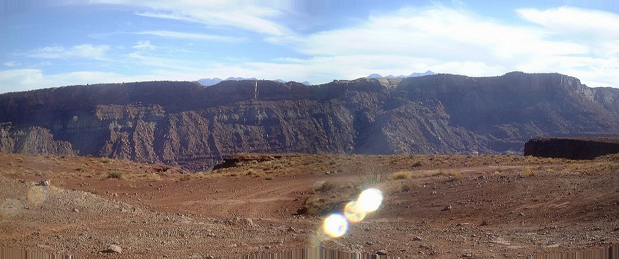 View east from Hurrah Pass, the La Sal peaks barely peek out behind Kane Springs Cyn. rim.
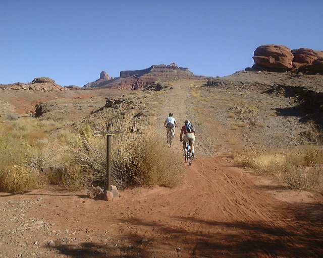
 First crucial turn at the bottom of Hurrah Pass downhill, turn right.
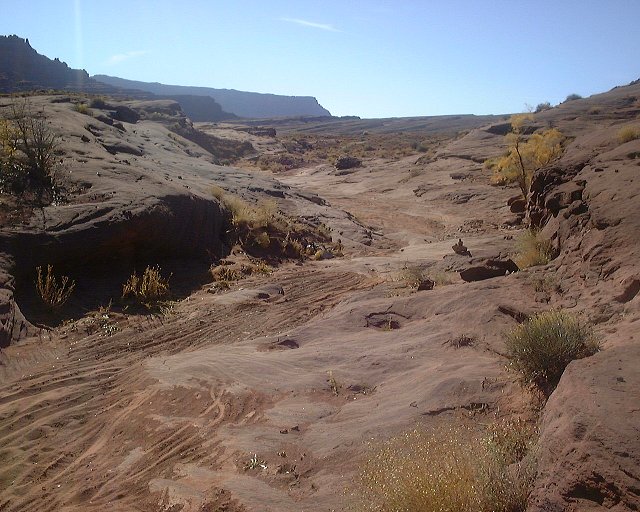
 Another crucial turn, this time marked, up the somewhat annoyingly coarse road.
 View down the road which we are leaving from the same spot (view NW).
 Panorama from the plateau as we near Jackson Hole.
 Another panorama north, when the Potash plant became visible.
 The road out of the wash at the last crucial turn.
 View up the road you came from before the easily overlooked turn right.
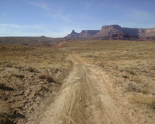 View down the road south-east of the Jackson Hole butte.
 Jackson Hole butte from the same spot, we are circumnavigating it from the right.
 Jackson's Ladder as seen from the distance.
 Jackson's Ladder from where the walking starts.
 A look up at the major climb section.
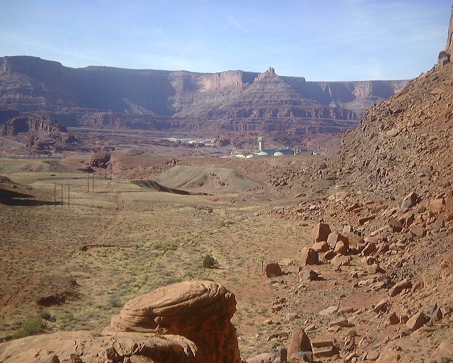 A view at the Potash plant from the same spot.
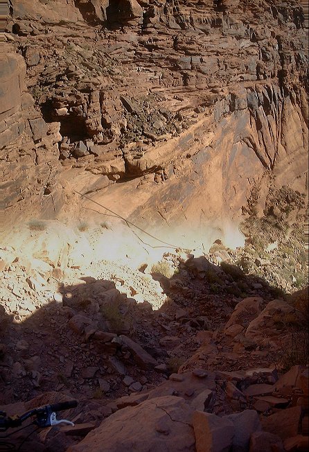 View down the switchbacks from ca. 3/4 way up.
 View up the switchbacks from about 3/4 of the climb.
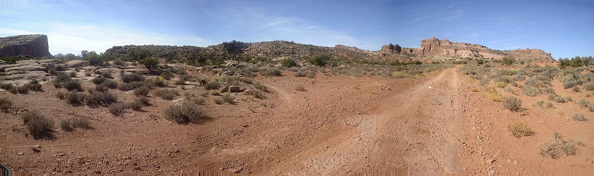 Panorama west from where the Jackson's Ladder access trail merges with Amasa Back trail.
 Panorama east-south from Amasa Back's southern rim.
 View north-west from the Amasa Back's western rim.
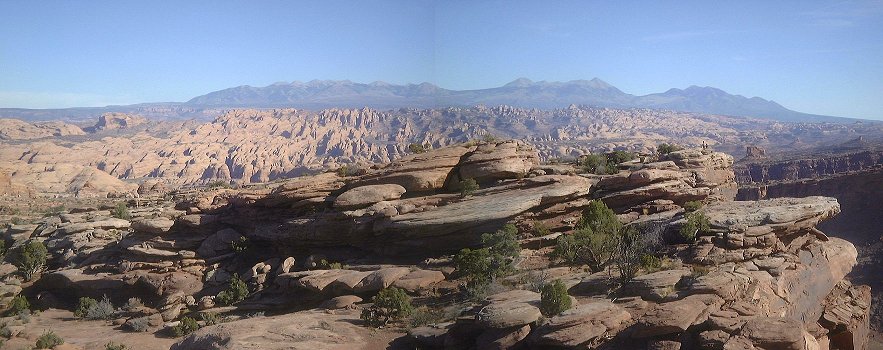 View east towards La Sals and Behind the Rocks area (in the foreground) from the same spot.
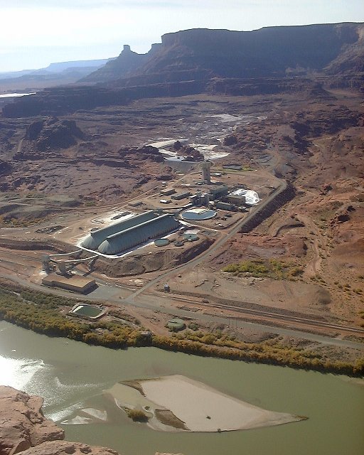 A look at the Potash plant from the westernmost end of Amasa Back.
 Panorama north from Buzzard's Bluff.
 Descending from Amasa Back.
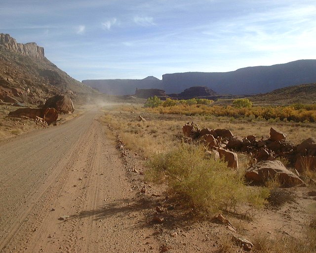 View up Kane Springs road near the end of my ride.
 Panorama of the area where I camped.
An extended version of the previous ride exploring dirt road leading to Chicken Corner on a gooseneck above Colorado River. Here is topo map and fotos from the ride.
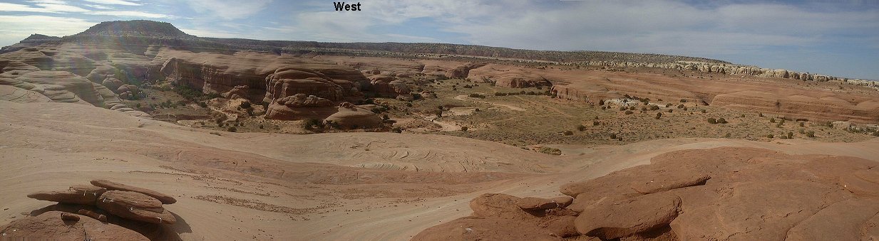
 Two-segment 360 deg. panorama from the highest and almost southernmost point on the Bartlett Wash slickrock mesa.
 View north from the southernmost hill.
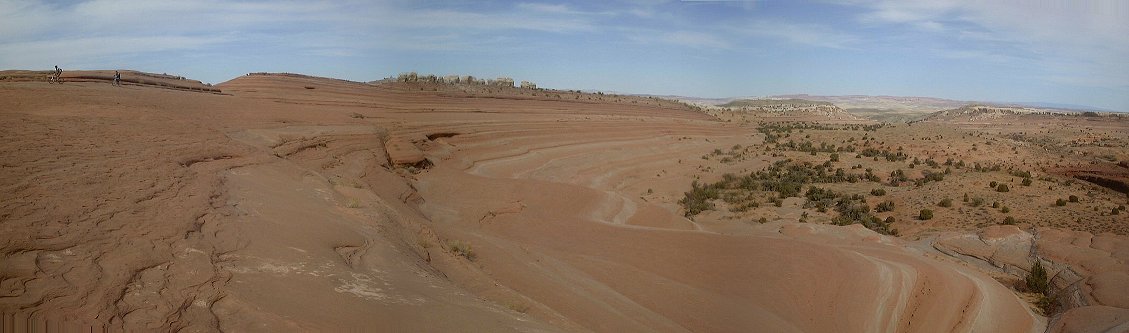 View north from the way back, the access here copies the right slope of the slickrock mesa.
First venture to La Sals, since I am never in Moab in summer. This time the plan was to ride the Trans La Sal loop, but, I was stopped by snow in Geyser Pass. Instead, I went back down on the west side of the mountain on set of decent trails. The Trans La Sal trail that followed to the south was also OK, but, the dirt roads that were supposed to finish the original loop were not that great and the directions from the guide book were even worse. In any case, here is topo map and fotos from the ride.